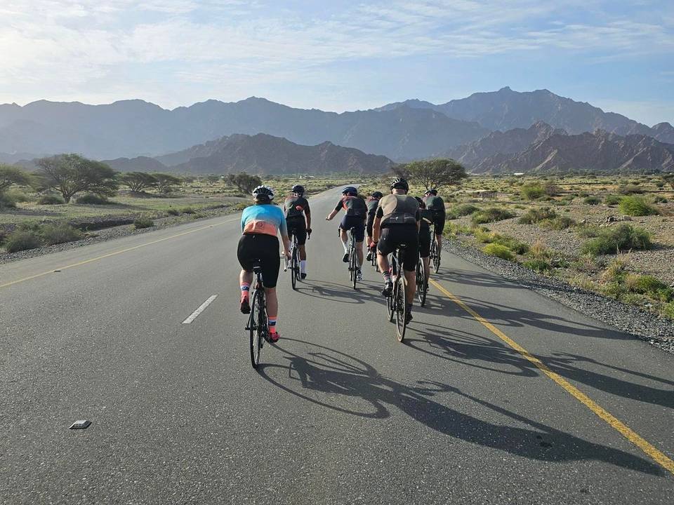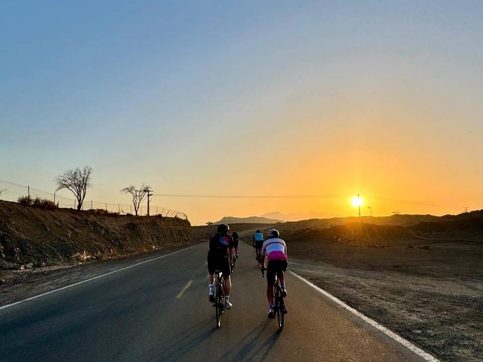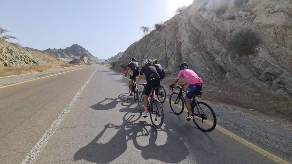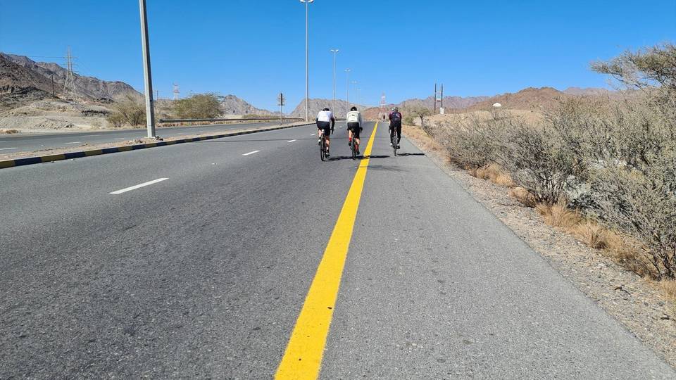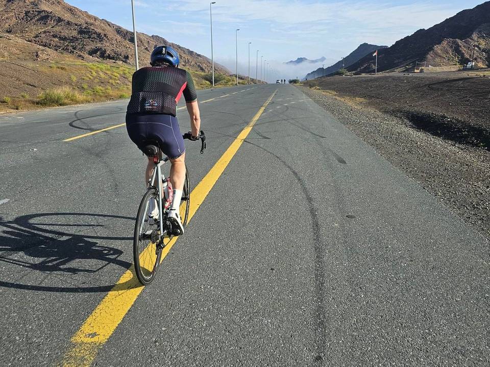
Road · United Arab Emirates
A hilly 65 km road cycling out-and-back route from Al Ghamarah, Fujairah through Al Ghūnah, Ash Shubah and Asimah, with 861 m of climbing over Al Ghūnah climb (498 m) and Al Ghūnah climb (506 m). There is a 56 km stretch without a café, shop or water (km 5–61).
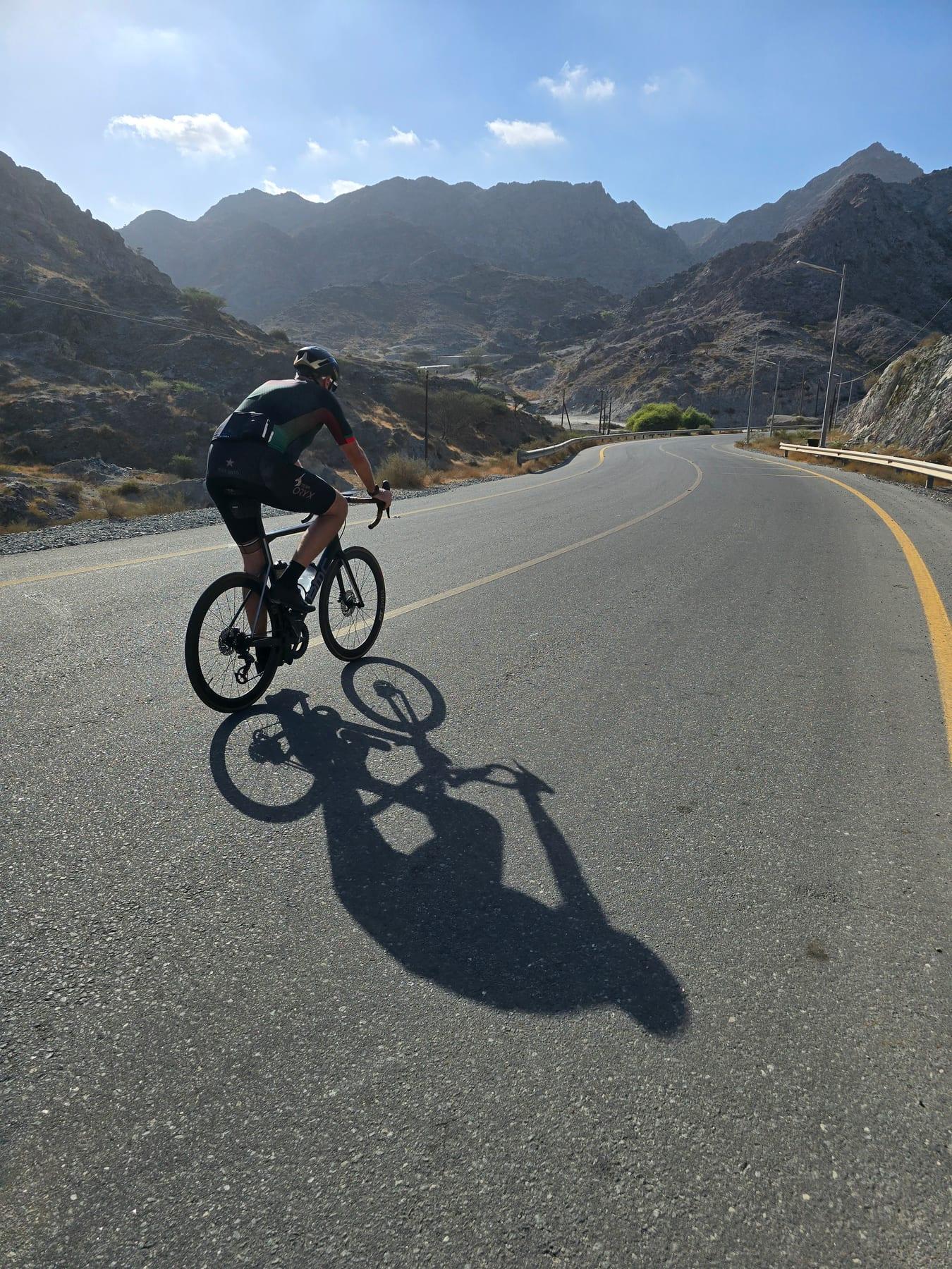
Starting near Al Ghamarah at 0.1 km, the route heads through Al Ghūnah at 13.3 km, where the lowest elevation is reached at 328 m. Early climbs include a 1.1 km section at 3.9% average gradient and a steeper 2.4 km climb at 7.2% between 13.2 km and 15.6 km reaching up to 506 m. The route continues past locations such as Al Baha, Yalah, and Sidr before reaching Al Yanhah and Sidrat al Qorah around 32 km.
Later climbs include 1.8 km at 4.6% starting at 40 km and a longer 5.8 km climb averaging 3.2% from 50.6 km. Surfaces are 98% paved with 2% gravel or unpaved. Roads include 45% minor roads, 25% major roads, 25% main roads, 4% quiet streets, and 1% track. Main roads without cycle lanes total 32 km with 14.6 km on roads with speed limits of 80 km/h or above. The longest named roads are Dibba Truck Road and Masafi-Dibba Road, ridden for around 15.7 and 15.6 km respectively.
There is a 56.3 km stretch without a café, shop or water between 4.5 km and 60.8 km. Fuel stations are available near the end at 61.1 km. The route peaks near Jabal Shemah at 539 m close to 35.2 km. The highest point on route is 519 m at 41.8 km. Masafi Hospital lies at the finish.
| Climb | Starts at | On this ride | Full ascent | Top on this ride |
|---|---|---|---|---|
| Unnamed climb | 0.2 km | 1.1 km · 42 m · 3.9 % · max 6.5 % | — | 497 m |
| Al Ghūnah climb (498 m) | 13.2 km | 2.4 km · 175 m · 7.2 % · max 14.6 % | 4.8 km · 234 m · 4.9 % | 506 m |
| Unnamed climb | 20.5 km | 1.5 km · 55 m · 3.6 % · max 5.9 % | — | 518 m |
| Unnamed climb | 31.8 km | 1.4 km · 60 m · 4.2 % · max 7.7 % | — | 437 m |
| Unnamed climb | 36.8 km | 2.9 km · 64 m · 2.2 % · max 2.9 % | — | 438 m |
| Unnamed climb | 40 km | 1.8 km · 83 m · 4.6 % · max 7.3 % | — | 519 m |
| Al Ghūnah climb (506 m) | 50.6 km | 5.8 km · 188 m · 3.2 % · max 7 % | 8.4 km · 244 m · 2.9 % | 518 m |
| Al Ghamarah climb | 50.7 km | — | 5.9 km · 189 m · 3.2 % | 517 m |
Expect stretches on main roads without a cycle lane (32 km in all) between quieter sections.
The longest stretch without a café, shop or water is 56 km, from km 5 to 61. Along the route: 2 cafés and restaurants, 1 shop and 2 petrol stations.