Road · United Arab Emirates
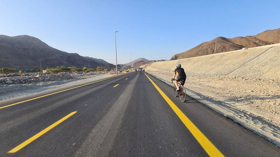
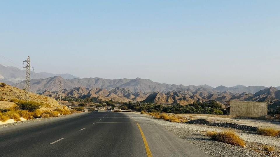
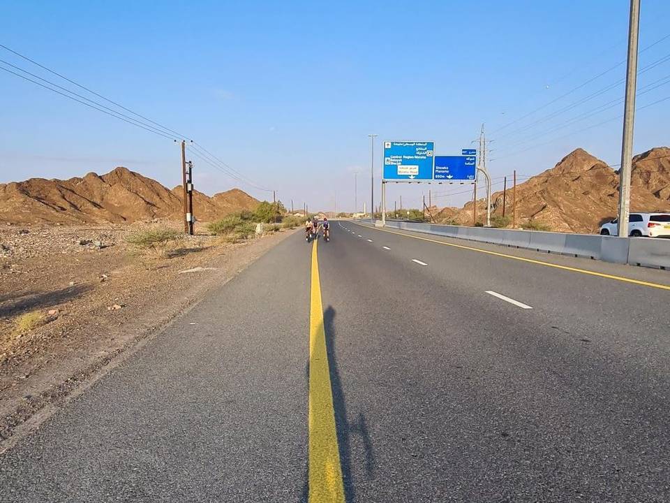
A hilly 117 km road cycling loop from Kalba, Sharjah through Al Qilē'ī, Fayyad and Al ‘Ayn al Ghumūr, with 1,315 m of climbing over the As Simsimānīyah climb. Most of it (96.7 km) is on main roads without a cycle lane, 34.2 km where the limit is 80 km/h or more. There is a 32 km stretch without a café, shop or water (km 31–64).
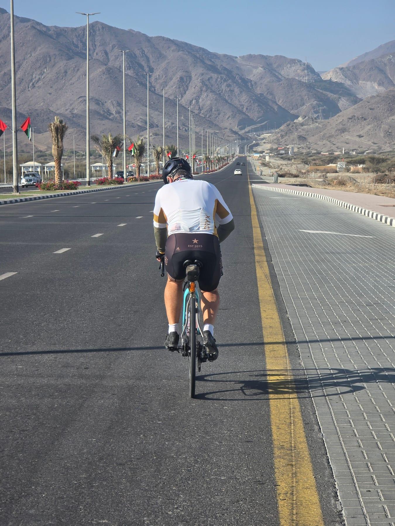
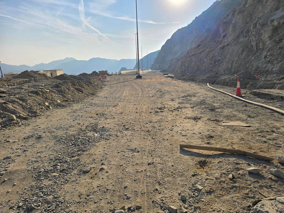
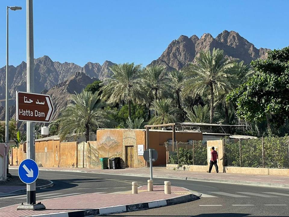
Starting from Kalba, the route passes through Al Qilē'ī at 7.4 km and continues to Minazif and Fayyad before reaching climbs starting at 3.2 km and 10.3 km with gradients up to 5%. A longer climb of 2.9 km averaging 5.3% occurs near Harrah and Shia around km 14. The route includes varied road types, with 48.8 km on main roads and 38.1 km on motorways, mostly without cycle lanes. The surface is mostly paved (95%) with 2% gravel and 3% unmapped. The ride features multiple climbs up to 5.7 km long, with the longest descent lasting 4.7 km. Key places visited include Al ‘Ayn al Ghumūr, Wahala, Hatta, and Munay. Facilities along the way include restaurants, cafés, fast food, kiosks, supermarkets, petrol stations at km 29.4, 63.6 and 87.5, and toilets near km 29.4, 74.8, and 80.5. There is a 32 km stretch without café, shop, or water from km 31.4 to 63.6. Peaks near the road include Jabal Al Miqsha, Jabal Naselah, Jabal Abu Samasimah, Jabal Laim, and Jabal Mudayrah.
| Climb | Starts at | On this ride | Full ascent | Top on this ride |
|---|---|---|---|---|
| Unnamed climb | 3.2 km | 1.9 km · 48 m · 2.6 % · max 3.6 % | — | 305 m |
| Unnamed climb | 10.3 km | 2.3 km · 52 m · 2.3 % · max 5 % | — | 323 m |
| Unnamed climb | 12.8 km | 2.9 km · 151 m · 5.3 % · max 10.2 % | — | 477 m |
| Unnamed climb | 20.4 km | 2.2 km · 59 m · 2.6 % · max 3.9 % | — | 258 m |
| Unnamed climb | 33.1 km | 1.6 km · 57 m · 3.7 % · max 8.2 % | — | 92 m |
| As Simsimānīyah climb | 64.1 km | 5.7 km · 187 m · 3.3 % · max 9.6 % | 5.9 km · 189 m · 3.2 % | 406 m |
| Unnamed climb | 75.7 km | 2 km · 48 m · 2.4 % · max 3.8 % | — | 366 m |
| Unnamed climb | 90.9 km | 2.9 km · 78 m · 2.7 % · max 4.2 % | — | 454 m |
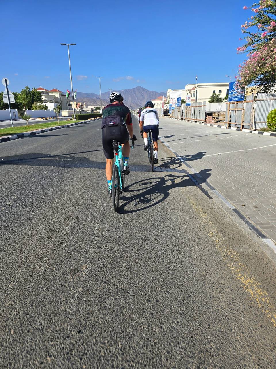
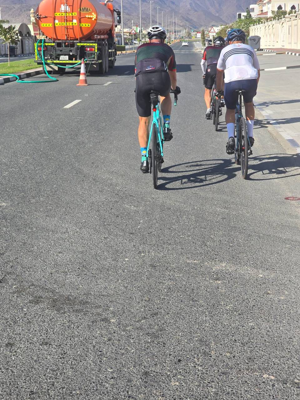
This is not a cycle-track route: 83% is on main roads without a cycle lane, 34.2 km of it where the limit is 80 km/h or more. Riders should be comfortable sharing the road with faster traffic.
The longest stretch without a café, shop or water is 32 km, from km 31 to 64. Along the route: 20 cafés and restaurants, 6 shops, 1 water point, 6 petrol stations and 7 public toilets.