Road · United Arab Emirates
Showka to Al Qor via Musseili
A hilly 60 km road cycling loop from Showka, Ras Al Khaimah through Musseili, Yaif and Al Qor, with 625 m of climbing over Showka climb (533 m). Most of it (52.8 km) is on main roads without a cycle lane, 31.6 km where the limit is 80 km/h or more. The first 60 km has no café, shop or water.
At a glance
- Best for
- Short, climbing-heavy rides for confident riders at ease in traffic
- Distance
- 59.9 km
- Elevation gain
- 625 m
- Riding time
- 2–3 hours
- Difficulty
- Moderate
- Bike
- Road bike
- Surface
- Paved
- Traffic
- Mostly main roads
- Food & water
- Longest gap 60 km
- Best months
- Dec to Feb
- Navigation
- GPX download
- Start and finish
- Showka
Map and elevation profile
Elevation profile
- 625 m
- 60 km
Route description
- Showka
- Musseili
- Showka climb (533 m)
- Yaif
- Al Qor
- Sha'biyyat Milāḩ
- Sikhе̄bar
- Al Wa'ab
- Munay
- Showka
Starting from Showka, the route heads towards Musseili at 6.2 km, then passes Yaif at 25.6 km and Al Qor at 27.9 km. It includes a climb from 14.6 km lasting 5.6 km with an average gradient of 3.6%, reaching 533 m at the highest point of the route at 20.2 km. The road surface is 99% paved. After descending, the route passes Sha'biyyat Milāḩ at 30.2 km, Sikhēbar at 35.6 km, and continues through Al Wa'ab at 36.2 km where a short climb of 1.3 km with an average gradient of 3.5% begins. The route then goes past Munay at 38.9 km, with another climb starting at 46 km for 5 km at 3% average gradient, reaching 486 m. The route is mostly on motorways (65%) and main roads (24%), with 52.8 km on main roads without cycle lanes and 31.6 km on roads with speed limits of 80 km/h or above. There is a longest descent of 4.2 km from 20.3 km. There are no cafés, shops or water along the entire 59.7 km ride. Toilets are available close to the route at 46.2 km and 53.8 km, and Showka Bicycles bike shop is located at the start and finish.
Why ride this route?
- Climbs Showka climb (533 m) (5.7 km at 3.5 %).
- Tops out at 533 m, 20.2 km in.
Highlights
- Climb to 533 m at 20.2 km
- Pass through Musseili, Yaif, Al Qor
- Near peaks Jabal Ash Shahayrah and Jabal Al Hinnah
Along the route
Places passed
Climbs
| Climb | Starts at | On this ride | Full ascent | Top on this ride |
|---|---|---|---|---|
| Showka climb (533 m) | 14.6 km | 5.6 km · 200 m · 3.6 % · max 11.3 % | 5.7 km · 201 m · 3.5 % | 533 m |
| Unnamed climb | 36.2 km | 1.3 km · 43 m · 3.5 % · max 5.9 % | — | 278 m |
| Unnamed climb | 46 km | 5 km · 149 m · 3 % · max 8 % | — | 486 m |
Showka climb (533 m) · full ascent, starts at 14.6 km
< 4%4 – 7%7 – 10%> 10%
Traffic, surface and gradient
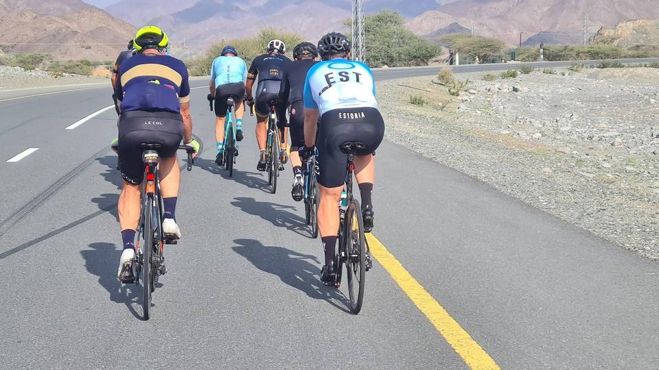
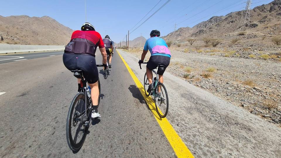
This is not a cycle-track route: 88% is on main roads without a cycle lane, 31.6 km of it where the limit is 80 km/h or more. Riders should be comfortable sharing the road with faster traffic.
- Roads
- 65% motorway · 24% main road · 9% minor road · 1% quiet street · 1% other roads and tracks
- Main roads
- 52.8 km on main roads without a cycle lane — likely busier
- Fast roads
- 31.6 km on roads with a limit of 80 km/h or more
- Main roads used
- Sharjah - Kalba Road (19 km), Al Watan Road (18 km)
- Surface
- Paved: 99% of the route is mapped as paved, 1% as unpaved.
- Gradient
- 26% climbing · 24% descending · 50% flat
- Steep sections
- 2.7 km over 5% · 0.9 km over 8% · 0.6 km over 10% · steepest 500 m averages 18.1% at 0 km
- Longest descent
- 4.2 km from 20.3 km, dropping 202 m
Food, water and services
The longest stretch without a café, shop or water is 60 km, from the start. Along the route: 2 public toilets and 1 bike shop.
Food, water and shops in ride order
- 46.2 kmToilets · on the route
- 53.8 kmToilets · 40 m off route
- 59.4 kmShowka Bicycles · bike shop · 460 m off route
Start and access
At the start and finish
- Bikes and repair
- Showka Bicycles (600 m)
Know before you go
- 52.8 km on main roads without cycle lane
- 31.6 km on roads with 80 km/h or higher speed limits
- No café, shop or water for 59.7 km
- A 5.6 km climb averaging 3.6%, maximum 11.3% gradient