
In progress · last stage ridden 2 October 2026
Munich to Venice via Brenner, Lake Garda and Bologna by Bike
Marcus is riding Munich to Venice via Brenner, Lake Garda and Bologna now: 15 stages so far, from Oberding to Mestre, 1,183 km and 3,586 m of climbing through Germany, Austria and Italy. Started on 18 September 2026; each new stage is added the day it is ridden. Every stage has a map, elevation profile, road facts and a GPX file.
Route at a glance
- Distance
- 1,183 km
- Climbing
- 3,586 m
- Stages
- 15
- Countries
- 3
- Average stage
- 79 km
- Longest stage
- 109.4 km
- Most climbing
- 733 m
- Riding time
- ~61 h
- Surface
- Mostly paved
- Bike
- Road bike with sturdy tyres, or gravel bike
- GPX
- Every stage + whole tour
- Start
- Oberding
- Finish
- Mestre
Full route map
Itinerary: 15 stages so far
Average 79 km and 239 m a stage. Longest day: stage 6 (109.4 km). Most climbing: stage 4 (733 m). Shortest: stage 13 (51.1 km).
| Stage | Route | Country | Distance | Climbing | Surface | Difficulty | Time | GPX |
|---|---|---|---|---|---|---|---|---|
| 1 | Oberding to Hallbergmoos | Germany | 53.1 km | 51 m | Mostly paved | Easy | 2–3 hours | GPX |
| 2 | Hallbergmoos to Holzkirchen | Germany | 73.6 km | 267 m | Mostly paved | Moderate | 3–4½ hours | GPX |
| 3 | Holzkirchen to Jenbach | Austria | 81.9 km | 721 m | Mixed surface | Moderate | 4–5½ hours | GPX |
| 4 | Wiesing to Matrei am Brenner | Austria | 72.1 km | 733 m | Mostly paved | Hard | 3½–5 hours | GPX |
| 5 | Matrei am Brenner to Bressanone | Austria → Italy | 76.5 km | 562 m | Mostly paved | Moderate | 3½–5 hours | GPX |
| 6 | Bressanone to Trento | Italy | 109.4 km | 164 m | Mostly paved | Hard | 4½–6½ hours | GPX |
| 7 | Trento to Toscolano Maderno | Italy | 100.6 km | 264 m | Mostly paved | Moderate | 4½–6 hours | GPX |
| 8 | Torri del Benaco to Verona | Italy | 59.2 km | 201 m | Mostly paved | Leisure | 2½–3½ hours | GPX |
| 9 | Beccacivetta-Azzano to Carpi Centro | Italy | 108.8 km | 17 m | Mostly paved | Leisure | 4½–6 hours | GPX |
| 10 | Carpi Centro to Bologna | Italy | 89.5 km | 69 m | Mostly paved | Moderate | 3½–5 hours | GPX |
| 11 | San Lazzaro to Imola | Italy | 70.8 km | 513 m | Mixed surface | Moderate | 3½–4½ hours | GPX |
| 12 | Imola to Casal Borsetti | Italy | 74.8 km | 0 m | Mixed surface | Leisure | 3–4 hours | GPX |
| 13 | Casal Borsetti to Goro | Italy | 51.1 km | 11 m | Mixed, much unpaved | Moderate | 2–3 hours | GPX |
| 14 | Goro to Piove di Sacco-Piovega | Italy | 107.6 km | 13 m | Mostly paved | Moderate | 4½–6 hours | GPX |
| 15 | Piove di Sacco to Mestre | Italy | 53.6 km | 0 m | Mixed surface | Easy | 2–3 hours | GPX |
Where we stayed
- Prize by Radisson, Munich Airport · hotel
- Snooze Apartments Holzkirchen · apartment
- Hotel Jenbacherhof B&B · hotel
- Pension Steiner · guest house
- Residence Traube · hotel
- B&B Piedicastello · guest house
- Hotel Maderno by Double Hospitality · hotel
- Crowne Plaza Verona - Fiera · hotel
- Hotel Carpi · hotel
- Camplus Living Bononia · hotel
- Hotel Europa · hotel
The route, country by country
Oberding → Germany → Austria → Italy → Mestre
Germany
Stages 1–2, 127 km: Oberding → Hallbergmoos → Holzkirchen. Flat (318 m of climbing), 15% on cycle paths or lanes.
Austria
Stages 3–5, 231 km: Holzkirchen → Jenbach → Matrei am Brenner → Bressanone. Rolling (2,016 m of climbing), 17% on cycle paths or lanes.
Italy
Stages 6–15, 825 km: Bressanone → Trento → Toscolano Maderno → Verona → Carpi Centro → Bologna → Imola → Casal Borsetti → Goro → Piove di Sacco-Piovega → Mestre. Flat (1,252 m of climbing), 26% on cycle paths or lanes.
How difficult is this tour?
1,183 km and 3,586 m of climbing over 15 stages: 79 km and 239 m a stage on average.
The longest day is stage 6, Bressanone to Trento (109.4 km); the most climbing is on stage 4, Wiesing to Matrei am Brenner (733 m); the shortest is stage 13, Casal Borsetti to Goro (51.1 km).
At 79 km a day on average, it suits riders used to back-to-back days of 60–100 km.
Riders can go faster or slower than the documented itinerary: the same 1,183 km is 20 riding days at 60 km a day, 15 riding days at 80 km a day and 12 riding days at 100 km a day.
Surface and traffic
Predominantly paved: 87% is mapped as paved, 10% as unpaved or gravel and 3% has no surface data.
271 km (23%) is on cycle paths or roads with a cycle lane; 200 km (17%) is on main roads without one, and 45 km on roads with a limit of 80 km/h or more.
The longest stretch without a café, shop or water is 19 km, on stage 9.
Best time to ride
This tour was ridden in September and October 2026.
Logistics
- 15 of 15 stage finishes have a hotel, guesthouse or campsite mapped within a short ride of the finish.
- The longest stretch without a café, shop or water on any stage is 19 km, on stage 9.
What it was actually like to ride
- Hardest stage
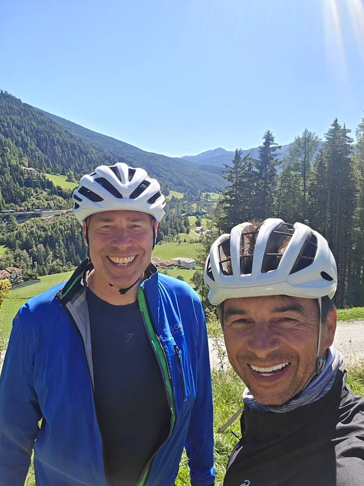
- The first day on the early slopes of the Brenner Pass are the hardest.
- Favourite scenery
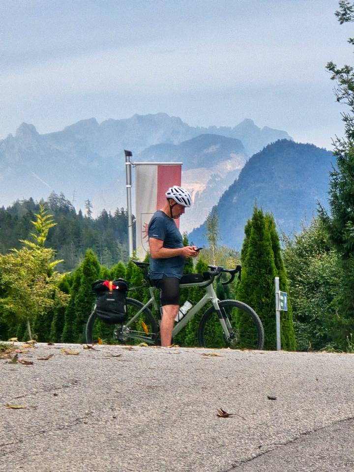
- The run up, through and over the Brenner Pass on a crisp, clear day. The descent down to Lake Garda is a close second.
- Bike used
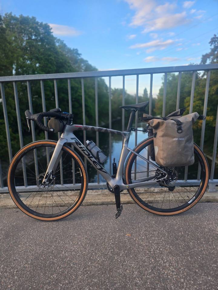
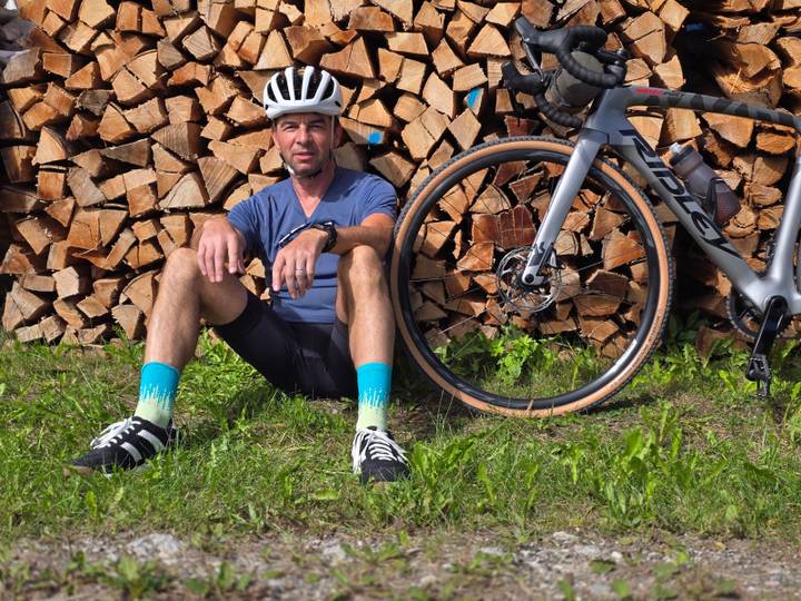
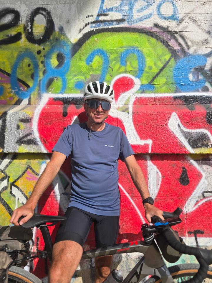
- Ridley Kanzo Fast
- Would I ride it again?
- Yes
About this tour
2 weeks starting in Munich, crossing the Brenner Pass, along Lake Garda, down to Carpi and Bologna, and back up along the coast to Venice. Amazing riding weather!
Photos from the road
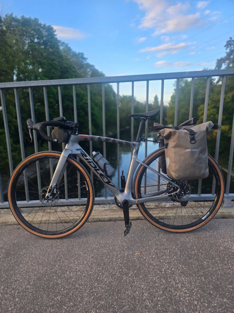
Stage 1 · Oberding to Hallbergmoos 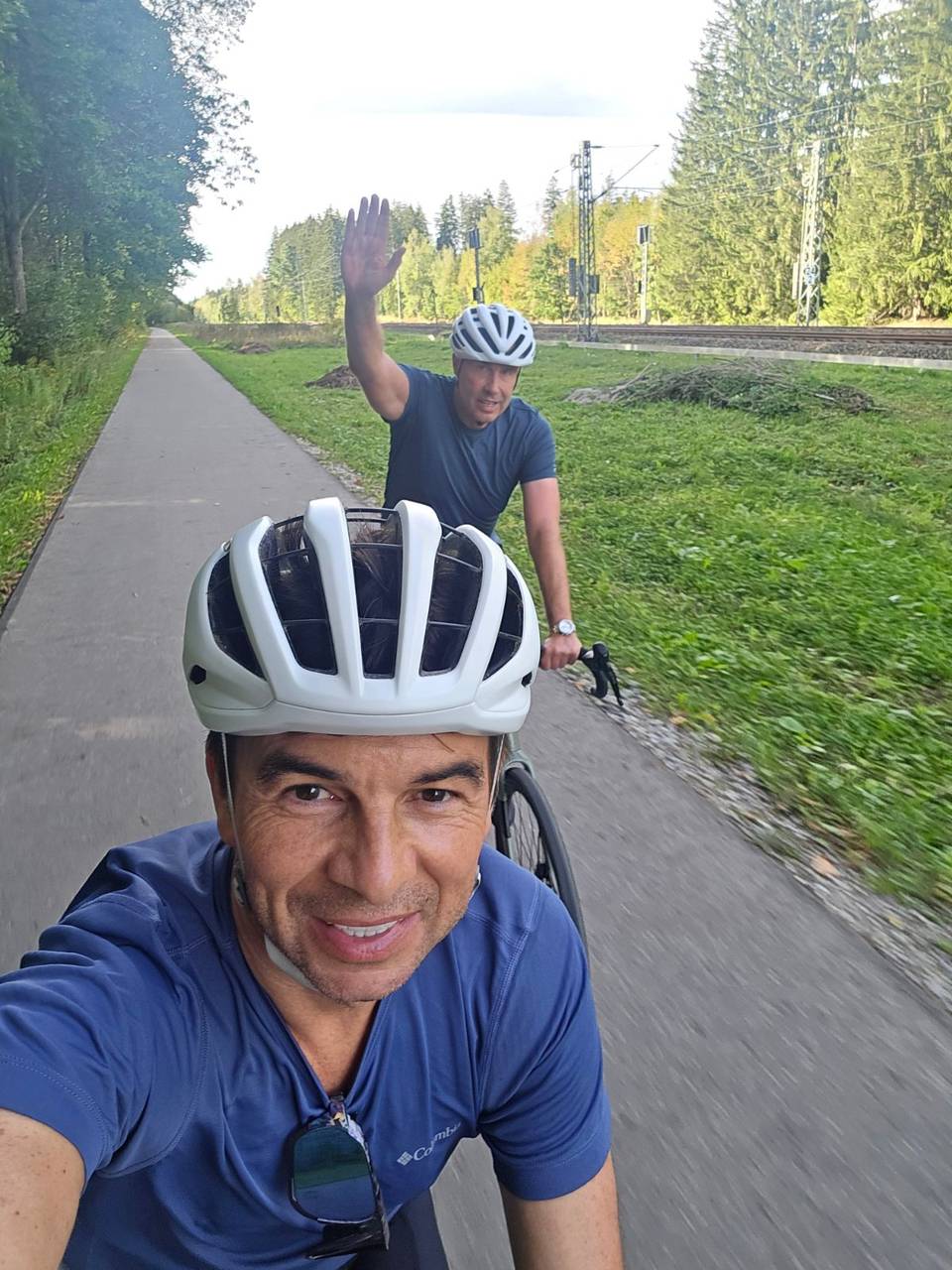
Stage 2 · Hallbergmoos to Holzkirchen 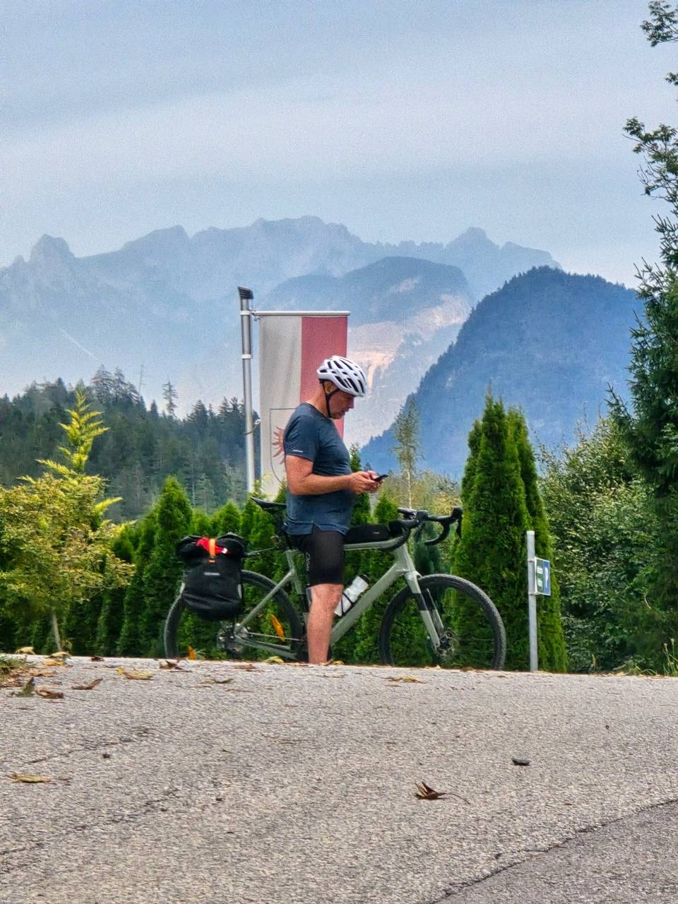
Stage 3 · Holzkirchen to Jenbach 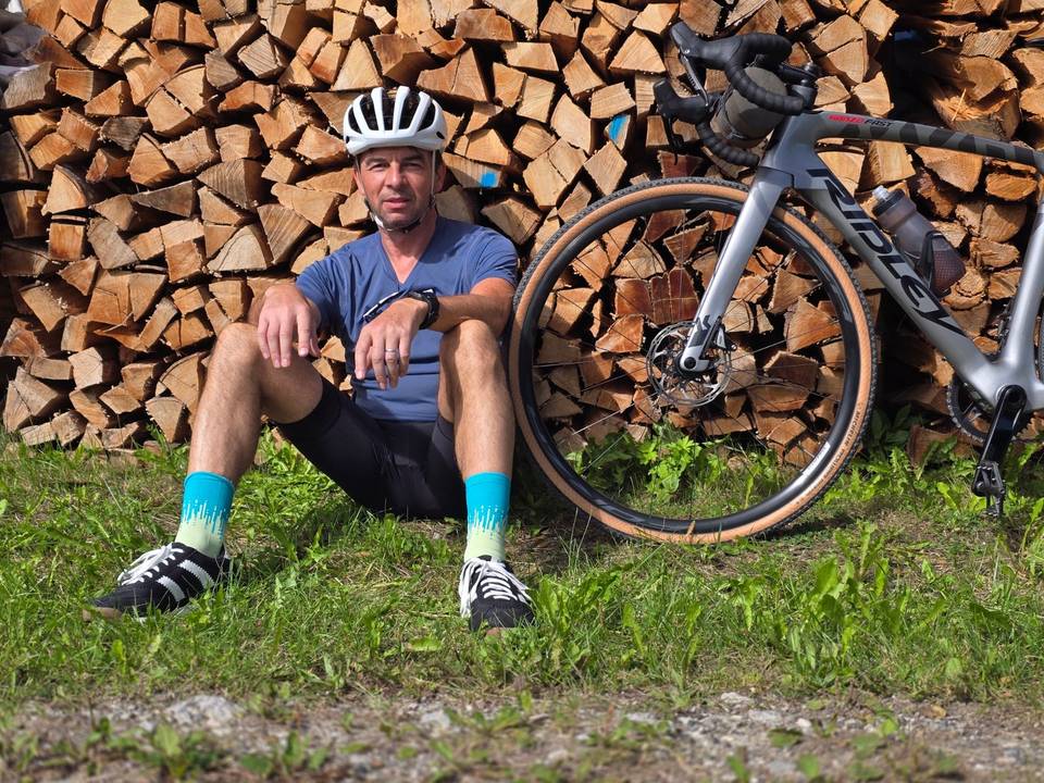
Stage 4 · Wiesing to Matrei am Brenner 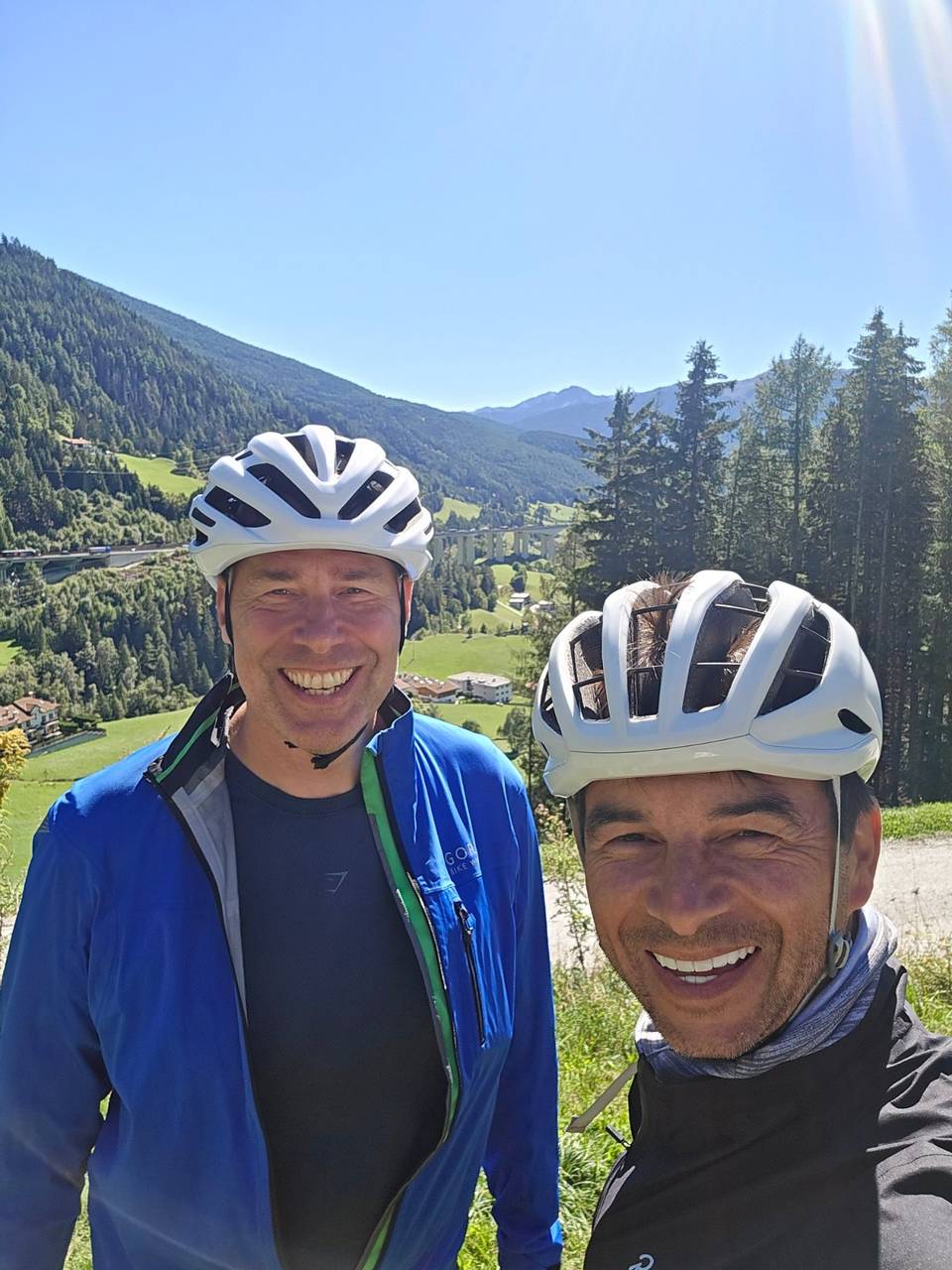
Stage 5 · Matrei am Brenner to Bressanone 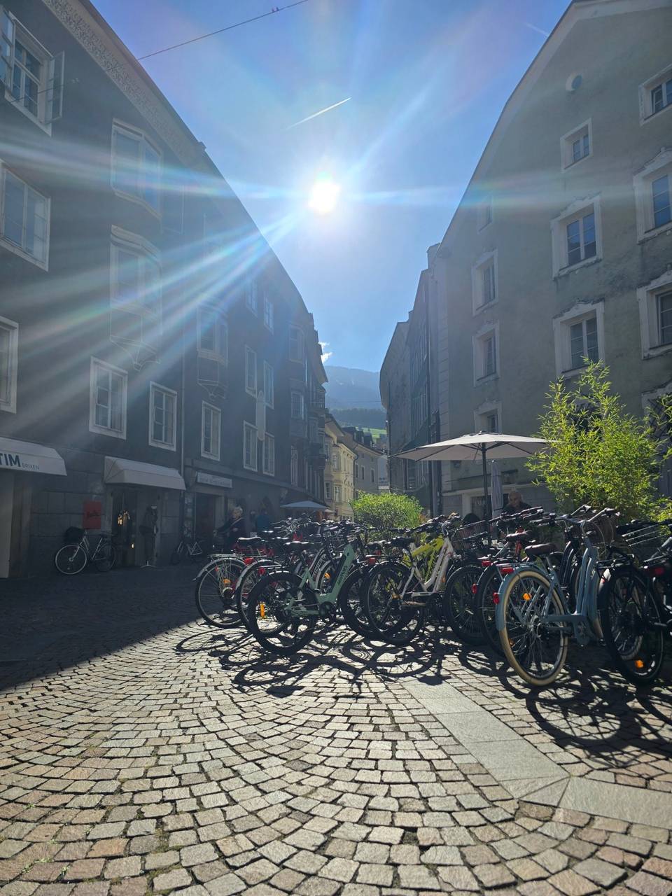
Stage 6 · Bressanone to Trento 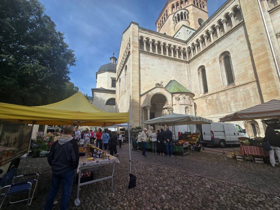
Stage 7 · Trento to Toscolano Maderno 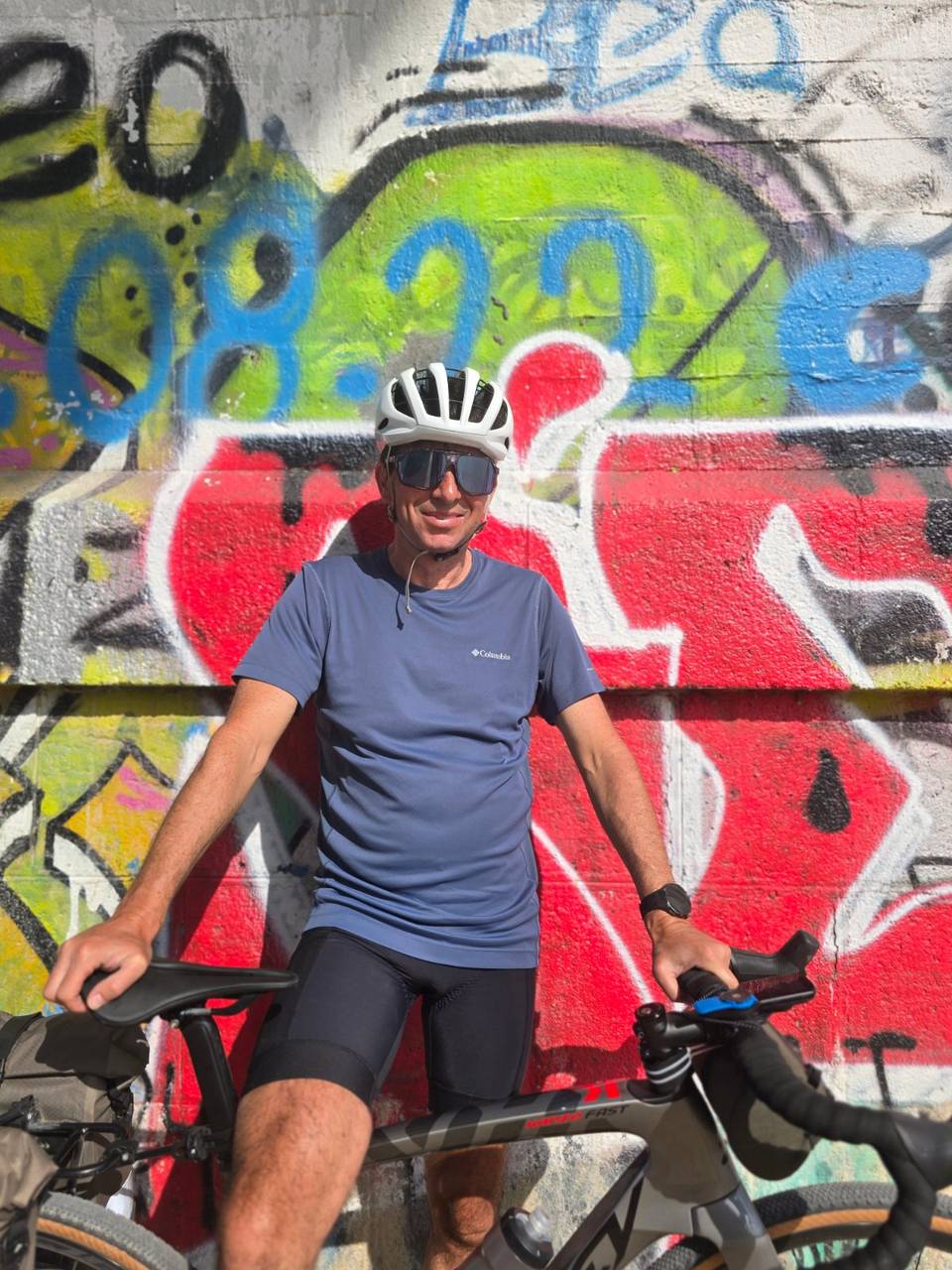
Stage 8 · Torri del Benaco to Verona 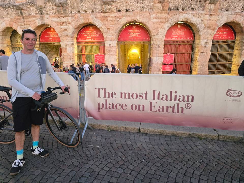
Stage 9 · Beccacivetta-Azzano to Carpi Centro 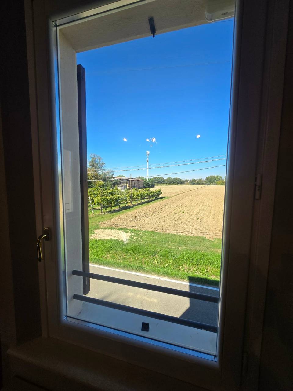
Stage 10 · Carpi Centro to Bologna 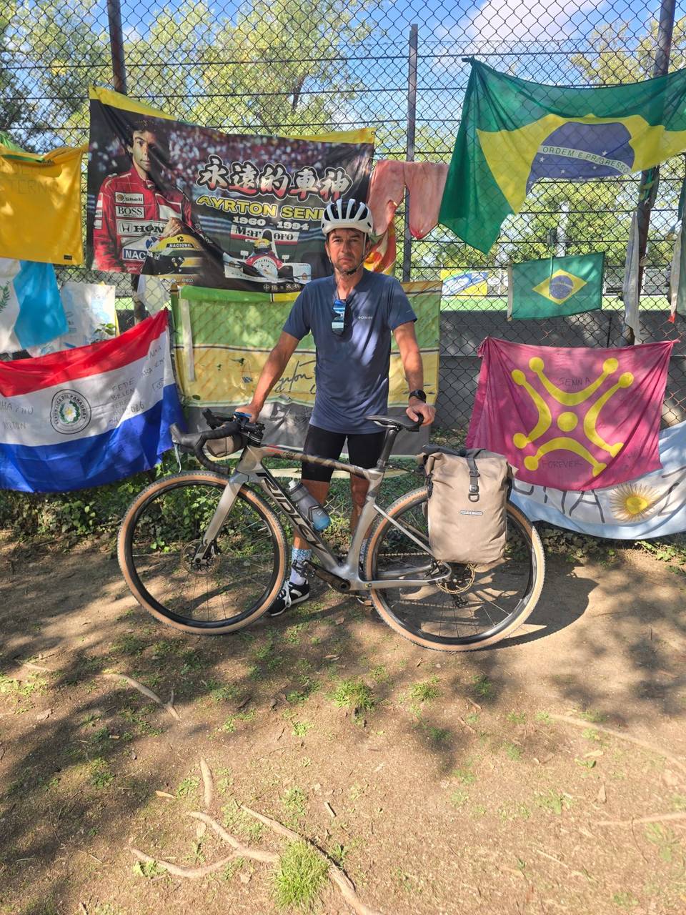
Stage 12 · Imola to Casal Borsetti 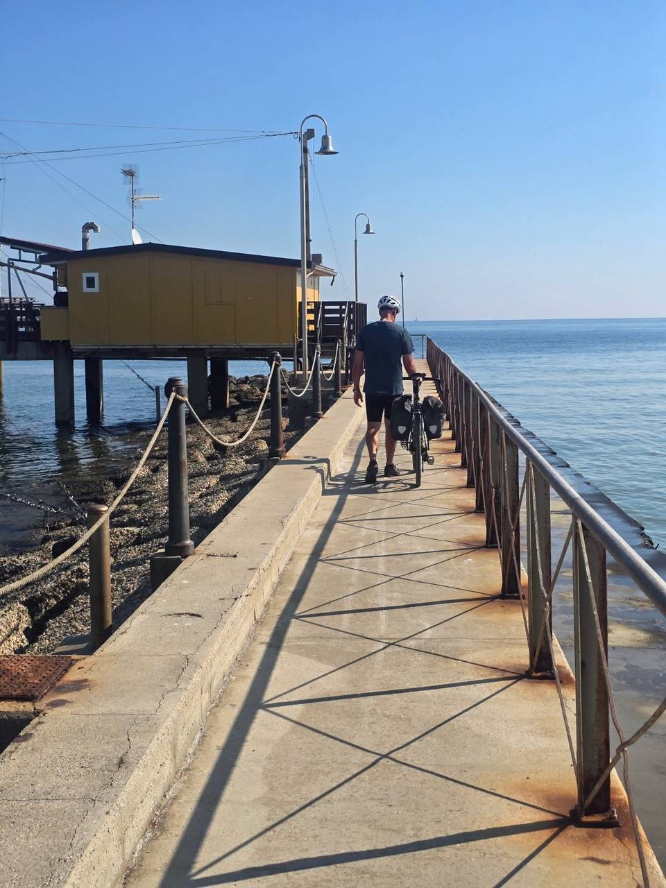
Stage 13 · Casal Borsetti to Goro 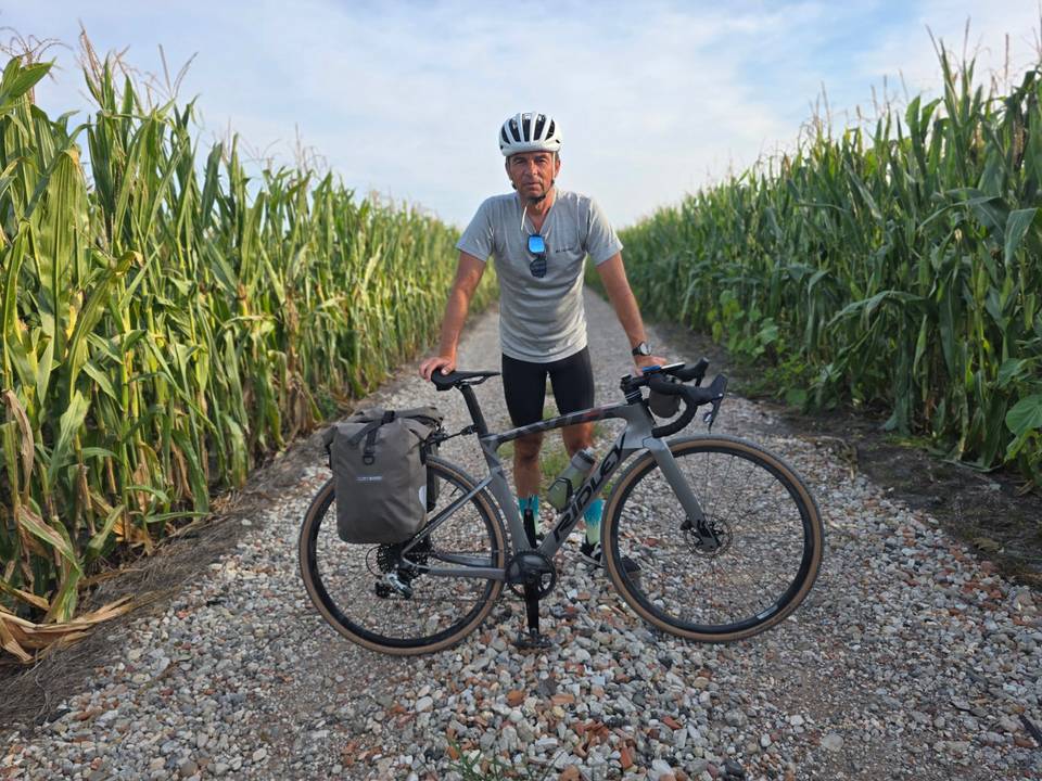
Stage 14 · Goro to Piove di Sacco-Piovega 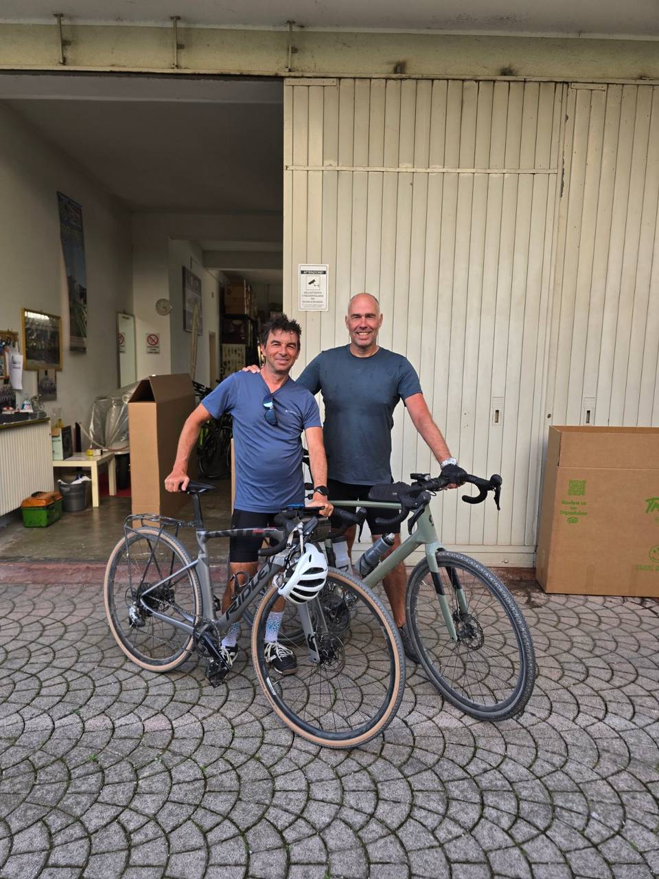
Stage 15 · Piove di Sacco to Mestre
Questions riders ask
Can you cycle from Oberding to Mestre?
Yes. Marcus rode it in 15 stages from 18 September to 2 October 2026, 1,183 km in all.
How far is Oberding to Mestre by bike?
1,183 km along this route, in 15 stages averaging 79 km.
How long does it take to cycle from Oberding to Mestre?
The documented trip took 15 riding days over 15 calendar days. Moving time is estimated at about 61 hours. At 60 km a day it is 20 days, 80 km a day it is 15 days and 100 km a day it is 12 days.
How much climbing is involved?
3,586 m in total. The most climbing in a day is 733 m on stage 4, Wiesing to Matrei am Brenner.
How difficult is the route?
At 79 km a day on average, it suits riders used to back-to-back days of 60–100 km. The longest day is 109.4 km.
Is it suitable for a road bike?
87% of the route is mapped as paved and 10% as gravel or unpaved (3% has no surface data). Based on that: road bike with sturdy tyres, or gravel bike.
Is there a GPX file?
Yes. Every stage has its own GPX download, and the whole tour is available as one GPX file with a track per stage.
What is the best time of year?
This tour was ridden in September and October 2026.