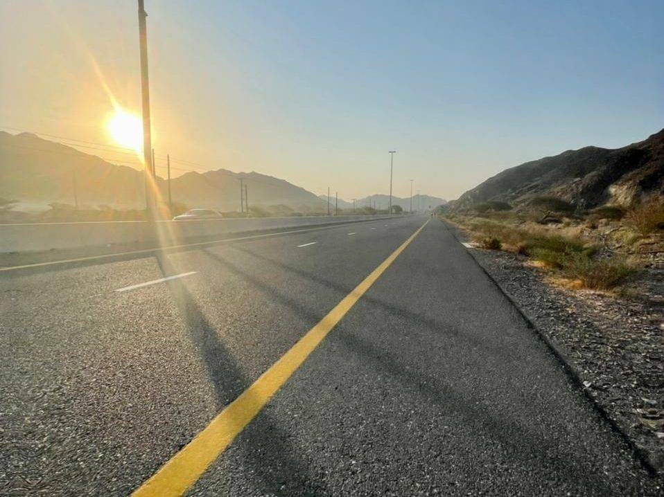
Road · United Arab Emirates
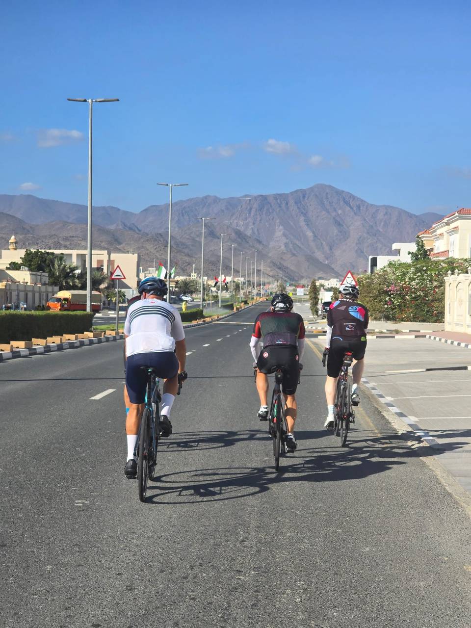
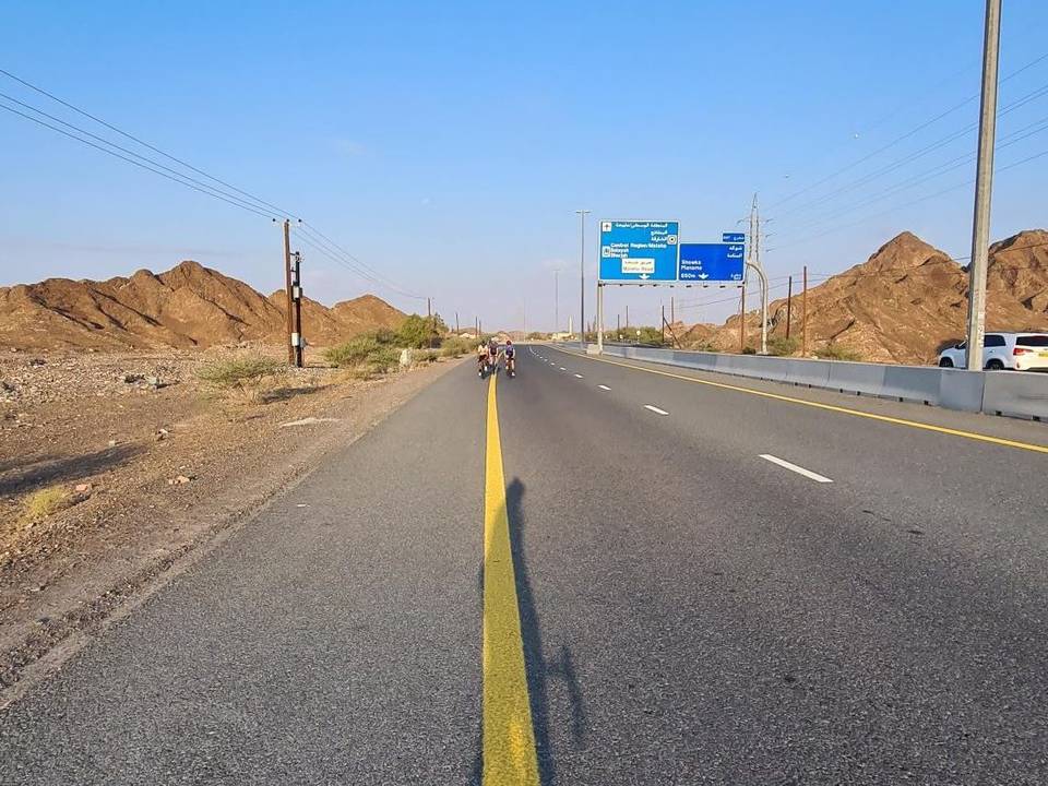
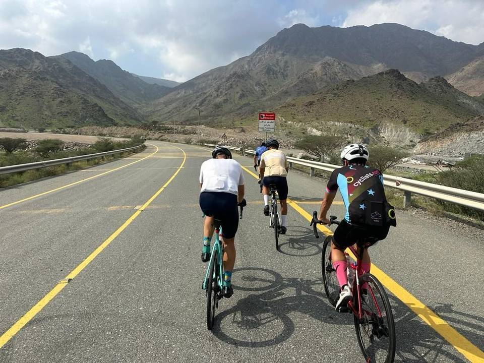
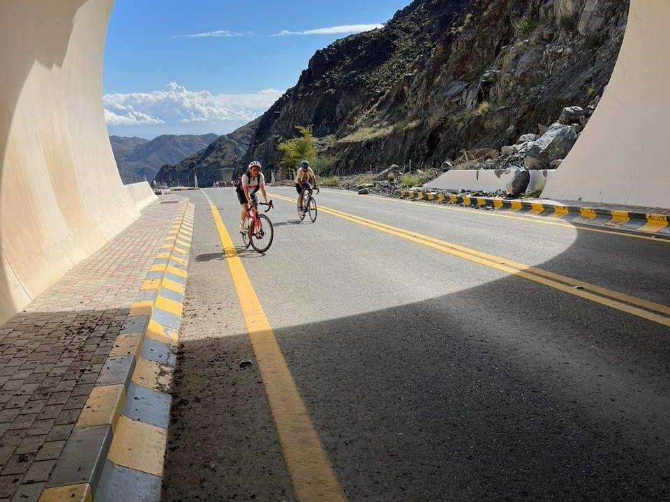
A hilly 127 km road cycling loop from Showka, Ras Al Khaimah through Munay, Harrah and Sufayri, with 1,520 m of climbing over Al Fujayrah climb (505 m) and Showka climb (531 m). Most of it (110.1 km) is on main roads without a cycle lane, 52.3 km where the limit is 80 km/h or more. The first 65 km has no café, shop or water.
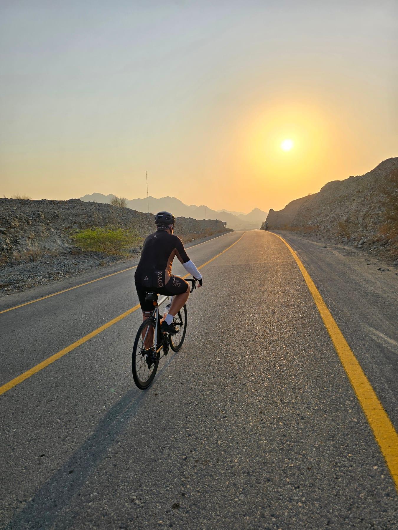
This 127 km loop ride starts and finishes at Showka in the Hajar Mountains, United Arab Emirates. The route features 1391 m of climbing and mainly paved surfaces (95%). Early on it climbs twice within the first 8 km, with a 2.9 km climb gaining 106 m averaging 3.7%, and a 3.6 km climb gaining 107 m averaging 3%. After passing Munay at 19.8 km, it includes several smaller climbs, including a 5.1 km climb starting at 29.3 km with average gradient 3.7% and max 8.5%.
| Climb | Starts at | On this ride | Full ascent | Top on this ride |
|---|---|---|---|---|
| Unnamed climb | 0 km | 2.9 km · 106 m · 3.7 % · max 5.2 % | — | 398 m |
| Unnamed climb | 4.6 km | 3.6 km · 107 m · 3 % · max 5.3 % | — | 488 m |
| Al Fujayrah climb (505 m) | 16.5 km | — | 2.7 km · 197 m · 7.2 % | 485 m |
| Unnamed climb | 21.9 km | 2 km · 48 m · 2.5 % · max 3.9 % | — | 306 m |
| Fayyad climb | 29.3 km | 5.1 km · 185 m · 3.7 % · max 8.5 % | 5.3 km · 180 m · 3.4 % | 459 m |
| As Simsimānīyah climb | 65.2 km | 5.7 km · 183 m · 3.2 % · max 10.2 % | 5.9 km · 189 m · 3.2 % | 402 m |
| Unnamed climb | 82.8 km | 2.7 km · 74 m · 2.8 % · max 4.6 % | — | 451 m |
| Showka climb (531 m) | 99.3 km | 3.6 km · 192 m · 5.4 % · max 12.1 % | 3.8 km · 200 m · 5.2 % | 528 m |
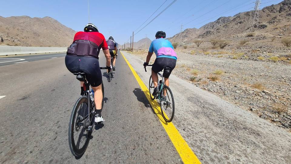
This is not a cycle-track route: 87% is on main roads without a cycle lane, 52.3 km of it where the limit is 80 km/h or more. Riders should be comfortable sharing the road with faster traffic.
The longest stretch without a café, shop or water is 65 km, from the start. Along the route: 9 cafés and restaurants, 3 shops, 4 petrol stations, 4 public toilets and 1 bike shop.