Road · United Arab Emirates
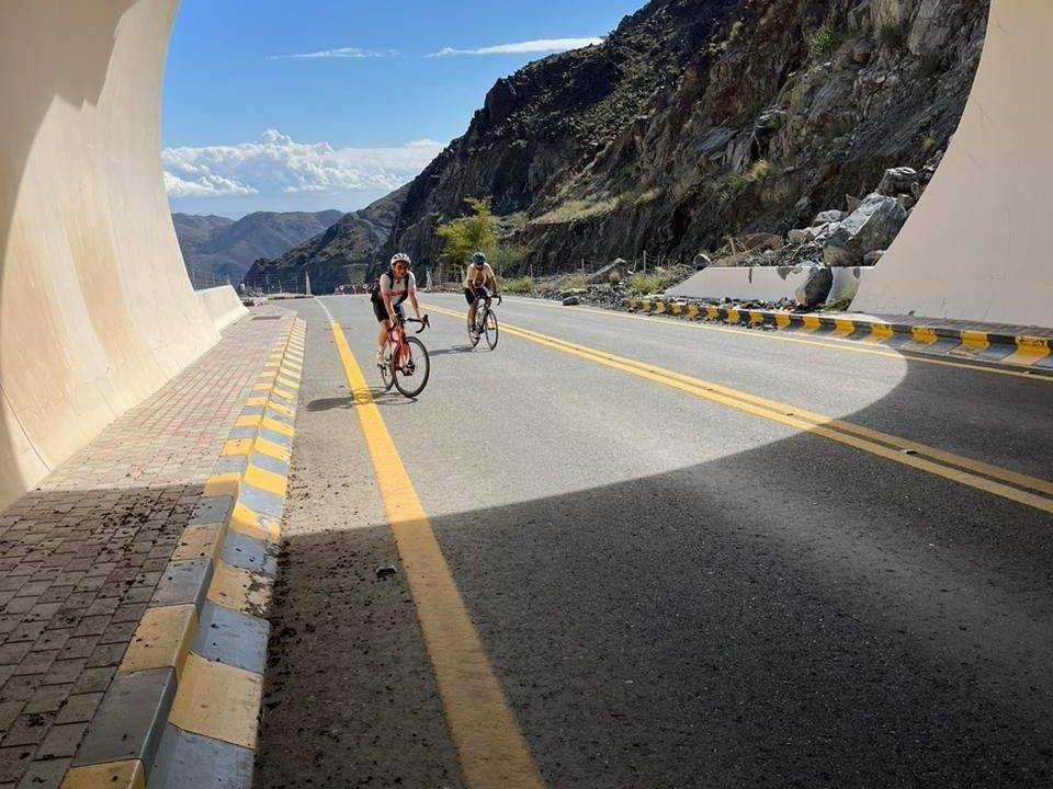
A hilly 108 km road cycling loop from Showka, Ras Al Khaimah through Musseili, Al Qor and Fashrah, with 1,238 m of climbing over Showka climb (533 m) and Showka climb (484 m). Most of it (87.9 km) is on main roads without a cycle lane, 43.1 km where the limit is 80 km/h or more. There is a 65 km stretch without a café, shop or water (km 42–106).
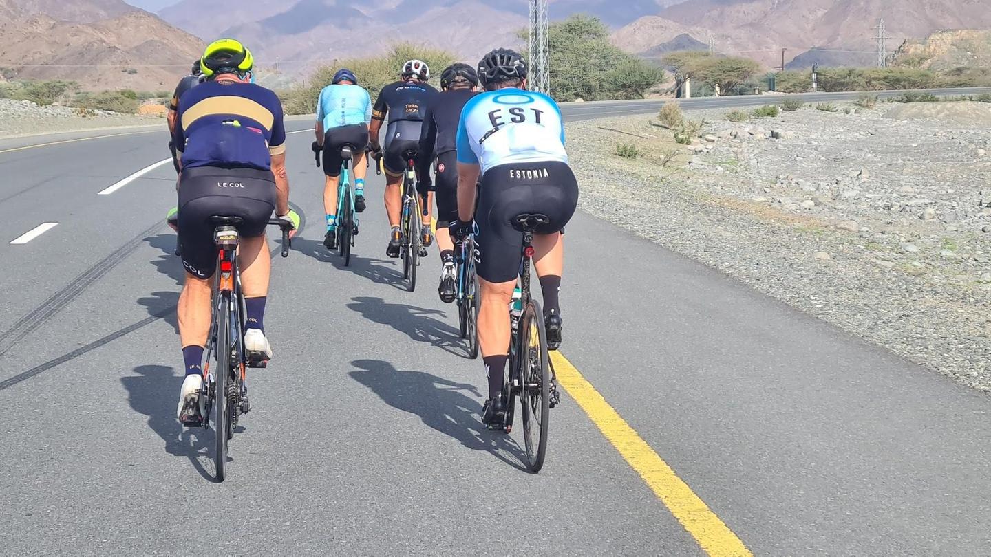
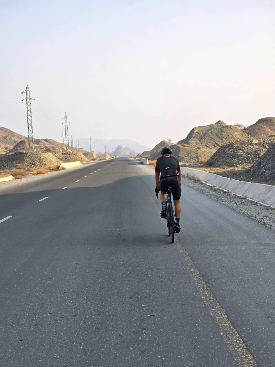
Starting from Showka, the route first passes through Musseili at 6.1 km and proceeds to Yaif at 25.4 km before reaching Al Qor and Sha'biyyat Milāḩ. The first significant climb begins at 14.8 km, ascending 188 m over 5.1 km with an average gradient of 3.7% and a max of 11.5%, reaching 527 m. After descending, there is a shorter climb around 29.2 km and terrain that fluctuates with smaller climbs later on. Major settlements on the route include Huwaylat (42.3 km), Fashrah, Rāfāq, Al Naslah and others, providing occasional points to stop or resupply.
| Climb | Starts at | On this ride | Full ascent | Top on this ride |
|---|---|---|---|---|
| Showka climb (533 m) | 14.8 km | 5.1 km · 188 m · 3.7 % · max 11.5 % | 5.7 km · 201 m · 3.5 % | 527 m |
| Unnamed climb | 29.2 km | 1.5 km · 42 m · 2.8 % · max 4.8 % | — | 315 m |
| Unnamed climb | 64.3 km | 1.7 km · 46 m · 2.8 % · max 3.8 % | — | 186 m |
| Showka climb (484 m) | 66.6 km | 3.8 km · 315 m · 8.4 % · max 18.2 % | 3.6 km · 277 m · 7.7 % | 496 m |
| Unnamed climb | 79.6 km | 2 km · 65 m · 3.2 % · max 5 % | — | 308 m |
| Unnamed climb | 92.5 km | 5.1 km · 148 m · 2.9 % · max 8 % | — | 481 m |
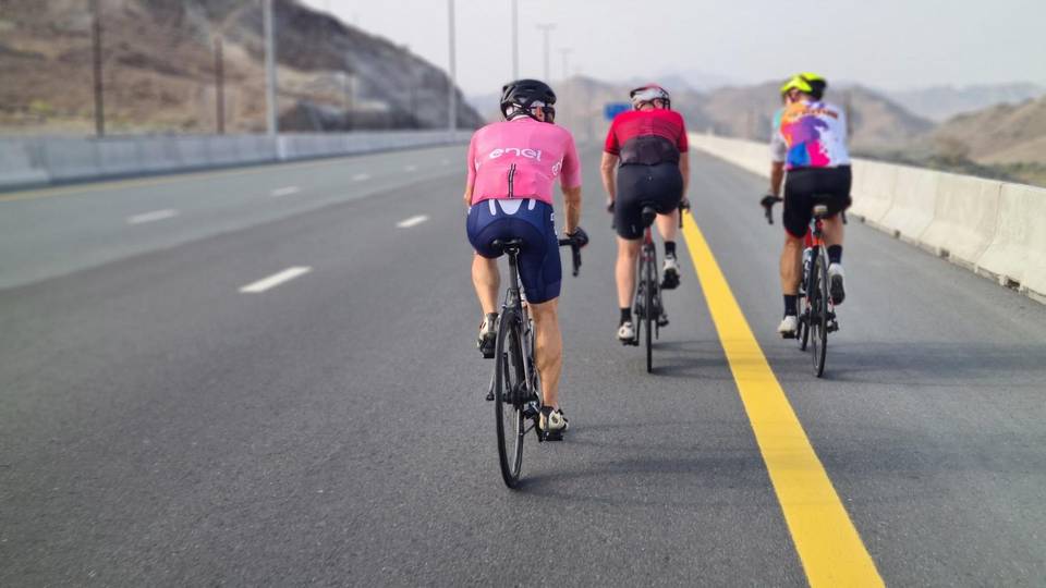
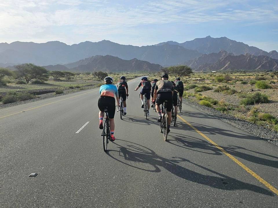
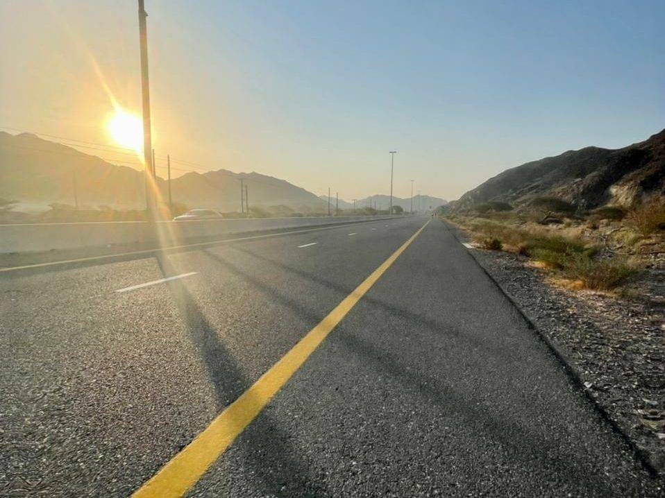
This is not a cycle-track route: 82% is on main roads without a cycle lane, 43.1 km of it where the limit is 80 km/h or more. Riders should be comfortable sharing the road with faster traffic.
The longest stretch without a café, shop or water is 65 km, from km 42 to 106. Along the route: 1 shop, 1 petrol station, 2 public toilets and 1 bike shop.