
Rotterdam to Barcelona by Bike
Cycle from Amsterdam to Lloret de Mar Along the Maresme Coast over 18 stages covering 1,679 km and 5,089 m of climbing through the Netherlands, Belgium, France and Spain. Ridden by Marcus from 3 to 21 September 2025. Every stage has a map, elevation profile, road facts and a GPX file.
Route at a glance
- Distance
- 1,679 km
- Climbing
- 5,089 m
- Stages
- 18
- Countries
- 4
- Average stage
- 93 km
- Longest stage
- 140.9 km
- Most climbing
- 687 m
- Riding time
- ~108 h
- Surface
- Mixed surface
- Bike
- Road bike with sturdy tyres, or gravel bike
- Best months
- Apr to Oct
- GPX
- Every stage + whole tour
- Start
- Amsterdam
- Finish
- Lloret de Mar Along the Maresme Coast
Full route map
Itinerary: 18 stages
Average 93 km and 283 m a stage. Longest day: stage 11 (140.9 km). Most climbing: stage 17 (687 m). Shortest: stage 10 (37.9 km).
| Stage | Route | Country | Distance | Climbing | Surface | Difficulty | Time | GPX |
|---|---|---|---|---|---|---|---|---|
| 1 | Amsterdam to Breda | Netherlands | 133.4 km | 10 m | Mostly paved | Hard | 4½–6 hours | GPX |
| Rest day | ||||||||
| 2 | Waterloo to Anderlues | Belgium | 70.7 km | 306 m | Paved | Moderate | 4–5½ hours | GPX |
| 3 | Anderlues to Couvin via Chimay | Belgium | 75.5 km | 458 m | Mostly paved | Moderate | 4–5½ hours | GPX |
| 4 | Couvin to Reims | Belgium → France | 120.7 km | 664 m | Paved | Hard | 6–8½ hours | GPX |
| 5 | Chaumont to Langres | France | 43.8 km | 390 m | Paved | Moderate | 2½–3 hours | GPX |
| 6 | Langres to Dijon | France | 90.6 km | 348 m | Mixed surface | Moderate | 4½–6½ hours | GPX |
| 7 | Dijon to Givry Through the Côte de Beaune | France | 71.2 km | 179 m | Mostly paved | Moderate | 3½–5 hours | GPX |
| 8 | Givry to Villefranche-sur-Saône via Cluny | France | 92.9 km | 62 m | Mixed, much unpaved | Moderate | 8–11½ hours | GPX |
| 9 | Villefranche-sur-Saône to Chanas Down the Rhône | France | 106 km | 39 m | Mixed surface | Moderate | 5–7 hours | GPX |
| 10 | Chanas to Tournon-sur-Rhône | France | 37.9 km | 63 m | Mostly paved | Easy | 2–3 hours | GPX |
| 11 | Tournon-sur-Rhône to Orange | France | 140.9 km | 145 m | Mixed surface | Hard | 6½–9½ hours | GPX |
| 12 | Orange to Nîmes | France | 105.2 km | 120 m | Mixed surface | Moderate | 5½–8 hours | GPX |
| 13 | Nîmes to Cap d'Agde | France | 128.2 km | 166 m | Mixed surface | Hard | 7–10 hours | GPX |
| 14 | Cap d'Agde to Sigean | France | 98.8 km | 198 m | Mixed surface | Moderate | 6–8 hours | GPX |
| 15 | Sigean to Banyuls-sur-Mer | France | 103.2 km | 478 m | Mixed surface | Hard | 6–8½ hours | GPX |
| 16 | Banyuls-sur-Mer to L'Estartit over the Col de Banyuls | France → Spain | 96 km | 568 m | Mixed surface | Hard | 6–8 hours | GPX |
| 17 | L'Estartit to Lloret de Mar Along the Costa Brava | Spain | 87 km | 687 m | Mixed surface | Hard | 5–7 hours | GPX |
| 18 | Barcelona to Lloret de Mar Along the Maresme Coast | Spain | 77.3 km | 208 m | Mostly paved | Moderate | 3½–5 hours | GPX |
The route, country by country
Amsterdam → Netherlands → Belgium → France → Spain → Lloret de Mar Along the Maresme Coast
Netherlands
Stage 1, 133 km: Amsterdam → Breda. Flat (10 m of climbing), 35% on cycle paths or lanes.
Belgium
Stages 2–4, 267 km: Waterloo → Anderlues → Couvin via Chimay → Reims. Rolling (1,428 m of climbing), 28% on cycle paths or lanes.
France
Stages 5–16, 1,115 km: Chaumont → Langres → Dijon → Givry Through the Côte de Beaune → Villefranche-sur-Saône via Cluny → Chanas Down the Rhône → Tournon-sur-Rhône → Orange → Nîmes → Cap d'Agde → Sigean → Banyuls-sur-Mer → L'Estartit over the Col de Banyuls. Flat (2,756 m of climbing), 16% on cycle paths or lanes.
Spain
Stages 17–18, 164 km: L'Estartit → Lloret de Mar Along the Costa Brava → Lloret de Mar Along the Maresme Coast. Rolling (895 m of climbing), 9% on cycle paths or lanes.
How difficult is this tour?
1,679 km and 5,089 m of climbing over 18 stages: 93 km and 283 m a stage on average.
The longest day is stage 11, Tournon-sur-Rhône to Orange (140.9 km); the most climbing is on stage 17, L'Estartit to Lloret de Mar Along the Costa Brava (687 m); the shortest is stage 10, Chanas to Tournon-sur-Rhône (37.9 km).
At 93 km a day on average, it suits riders used to back-to-back days of 80–120 km.
Riders can go faster or slower than the documented itinerary: the same 1,679 km is 28 riding days at 60 km a day, 21 riding days at 80 km a day and 17 riding days at 100 km a day.
Surface and traffic
Mixed surface: 81% is mapped as paved and 15% as gravel or unpaved and 4% has no surface data.
318 km (19%) is on cycle paths or roads with a cycle lane; 272 km (16%) is on main roads without one, and 193 km on roads with a limit of 80 km/h or more.
The longest stretch without a café, shop or water is 76 km, on stage 8.
Best time to ride
This tour was ridden in September 2025. From ten years of weather at the stage towns, Apr to Oct are good for riding along the whole route.
Logistics
- 18 riding days over 19 calendar days: 1 day without a stage.
- 18 of 18 stage finishes have a hotel, guesthouse or campsite mapped within a short ride of the finish.
- The longest stretch without a café, shop or water on any stage is 76 km, on stage 8.
What it was actually like to ride
About this tour
This is a long, largely southbound line across four countries: 1,679 km in 18 stages with only 5,968 m of climbing in total, which averages out at well under 350 m a day. It starts in the Dutch delta, crosses Belgium into France, follows the Saône and then the Rhône to the Mediterranean, and turns along the coast into Spain to finish in Barcelona.
The opening stage from Amsterdam through Rotterdam to Breda is as flat as anything on the tour, 133.4 km for 76 m of gain, with a low point of -48 m. Belgium is where the road first tilts: the Waterloo to Anderlues stage collects 361 m over 70.7 km with two short rises, and the following day to Couvin via Chimay adds 476 m, ending with a 1.3 km climb at 4.7% (maximum 8.1%) topping out at 302 m.
The French middle section is the hilliest part in relative terms. Couvin to Reims is 120.7 km and 869 m, the biggest single day for climbing, opening with a 2.5 km rise at 3.3% to 334 m. Chaumont to Langres is the second shortest stage at 43.8 km but packs 412 m in, including a 2.7 km climb at 4.8% (maximum 8.1%) to 461 m near the finish. The overall high point of the tour, 474 m, comes on the Langres to Dijon stage.
From Dijon the profile flattens for a long stretch. The Côte de Beaune stage to Givry gains 234 m, Givry to Villefranche-sur-Saône just 44 m over 92.9 km, and the 106 km down the Rhône through Lyon to Chanas only 62 m. The shortest day is Chanas to Tournon-sur-Rhône at 37.9 km; the longest is Tournon-sur-Rhône to Orange at 140.9 km, still with only 178 m of gain.
The coast reintroduces gradient. Sigean to Banyuls-sur-Mer has 598 m and a pitch reaching 16.2% near Port-Vendres. Banyuls-sur-Mer to l'Estartit crosses into Spain over the Col de Banyuls, with a 3.6 km climb at 3.4% (maximum 10.1%) from km 4.9 and 642 m in total. The Costa Brava stage to Lloret de Mar is the steepest overall at 787 m in 87 km, including a 3.9 km climb at 4.1% to 171 m. The run into Barcelona along the Maresme coast is flat again, 239 m over 77.3 km.
Ridden in September, temperatures ranged from 19°C in the Netherlands and at Tournon-sur-Rhône to 30°C at Nîmes and 31°C on both Catalan stages. Most days pass 30 or more places to fill bottles or eat; the exception is Givry to Villefranche-sur-Saône, where only 12 are recorded across 92.9 km, so carry more than usual.
Photos from the road
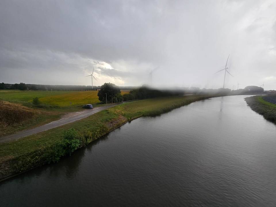
Stage 1 · Amsterdam to Breda 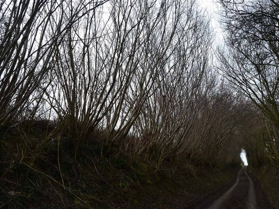
Stage 2 · Waterloo to Anderlues 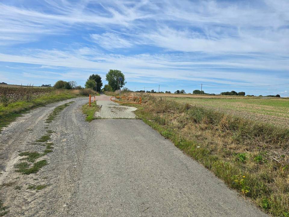
Stage 3 · Anderlues to Couvin via Chimay 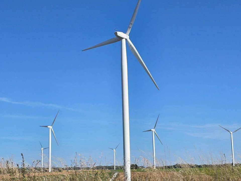
Stage 4 · Couvin to Reims 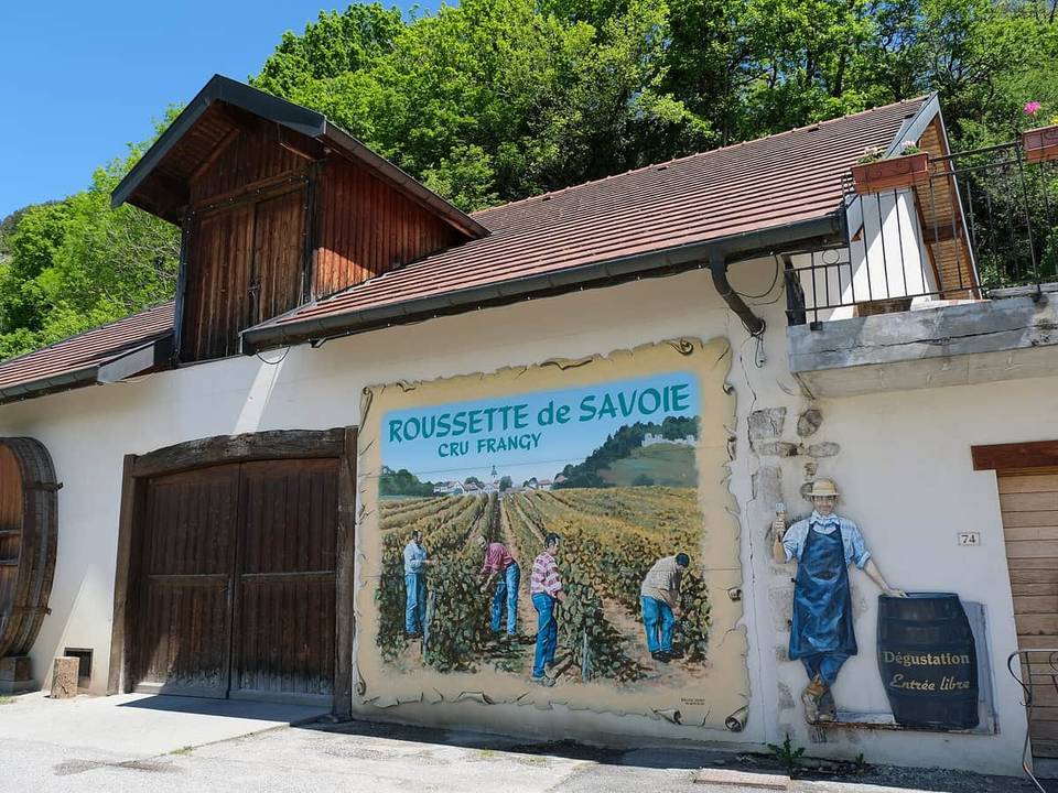
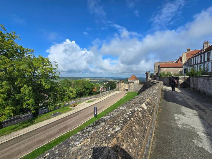
Stage 5 · Chaumont to Langres 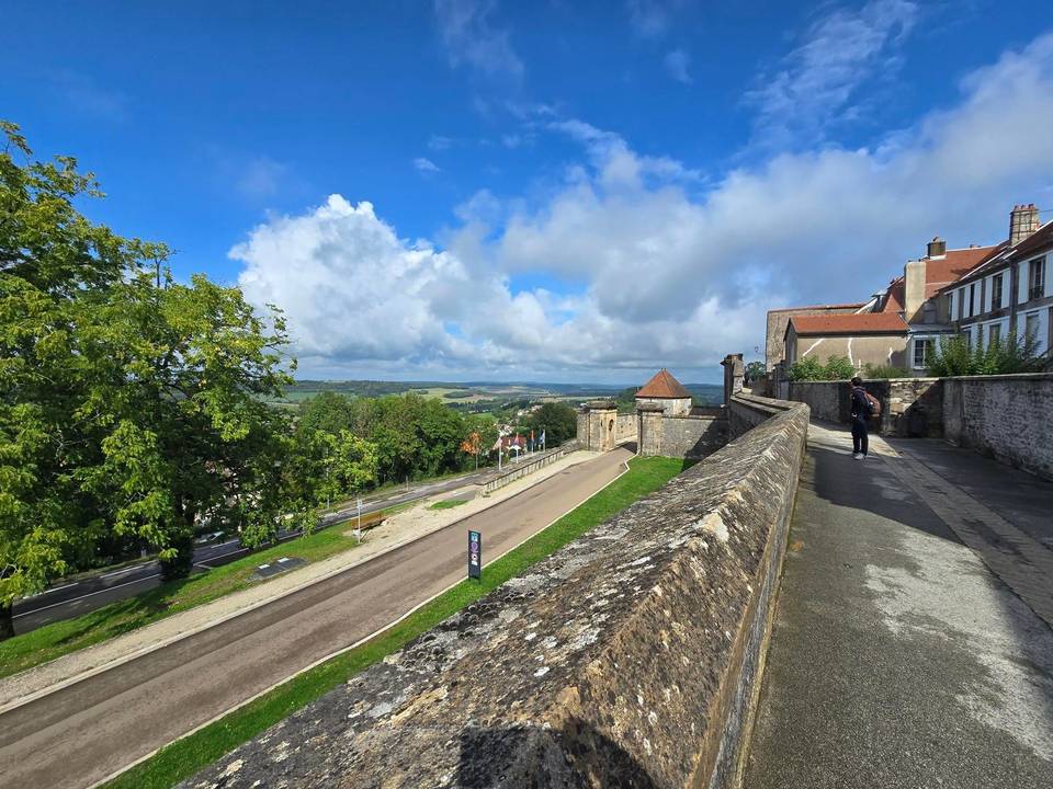
Stage 6 · Langres to Dijon 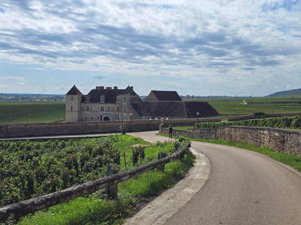
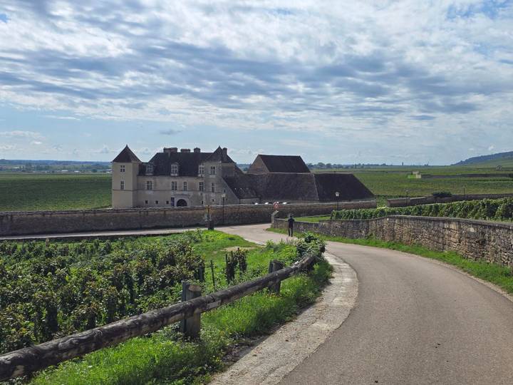
Stage 7 · Dijon to Givry Through the Côte de Beaune 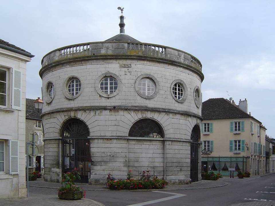
Stage 8 · Givry to Villefranche-sur-Saône via Cluny 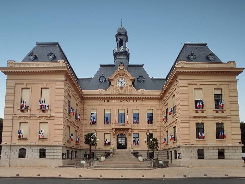
Stage 9 · Villefranche-sur-Saône to Chanas Down the Rhône 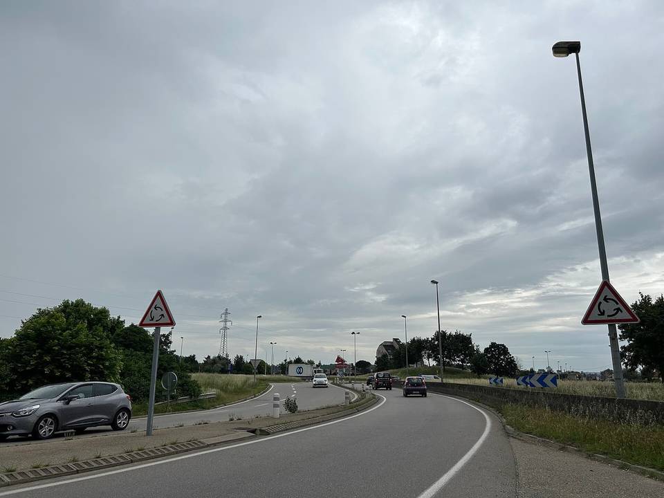
Stage 10 · Chanas to Tournon-sur-Rhône 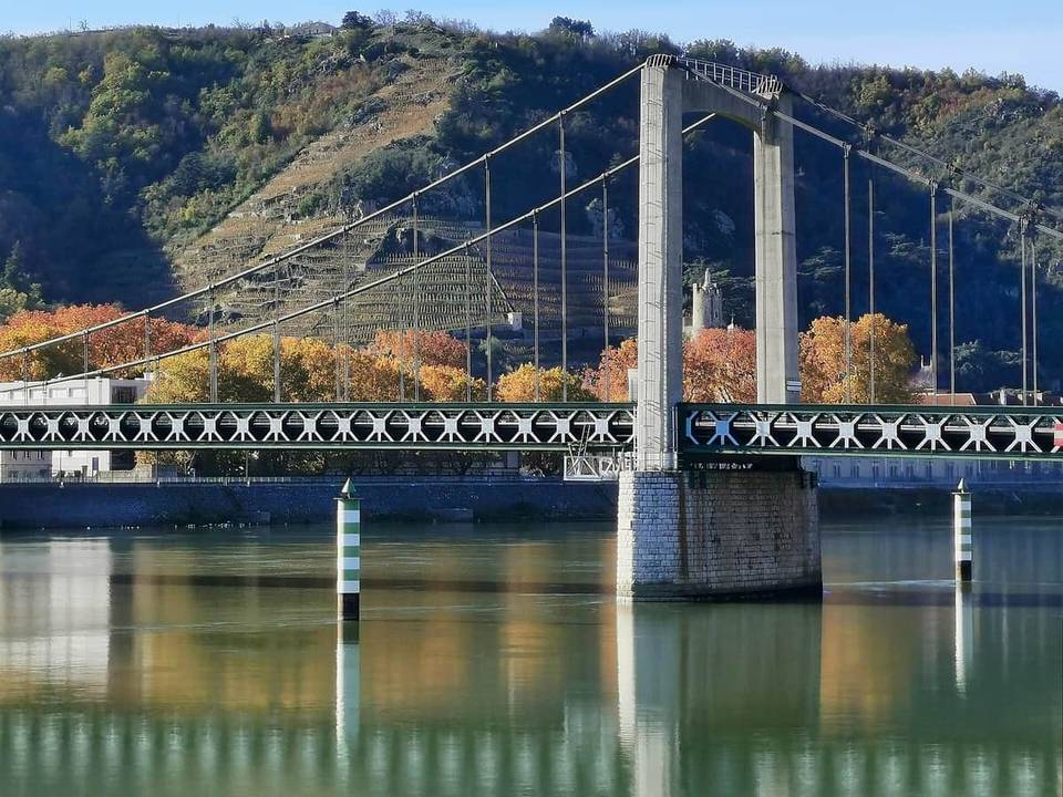
Stage 11 · Tournon-sur-Rhône to Orange 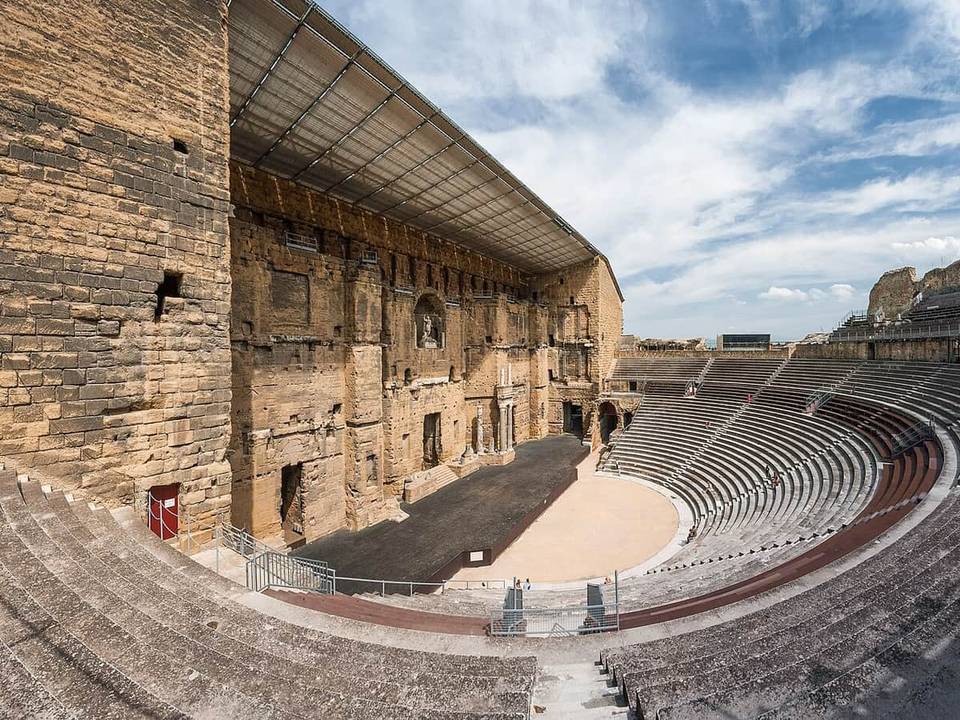
Stage 12 · Orange to Nîmes 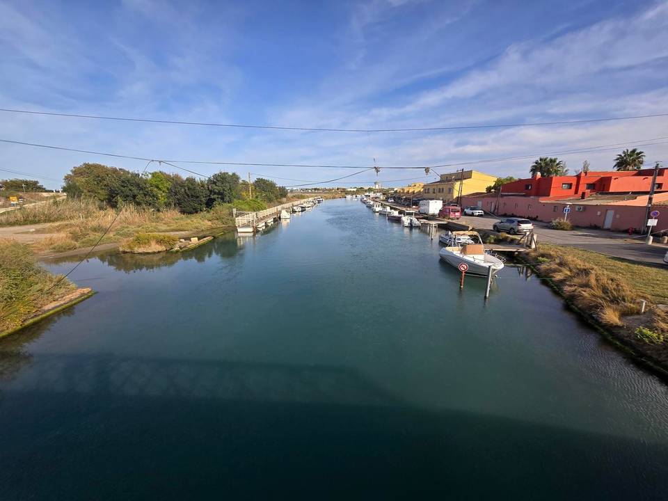
Stage 13 · Nîmes to Cap d'Agde 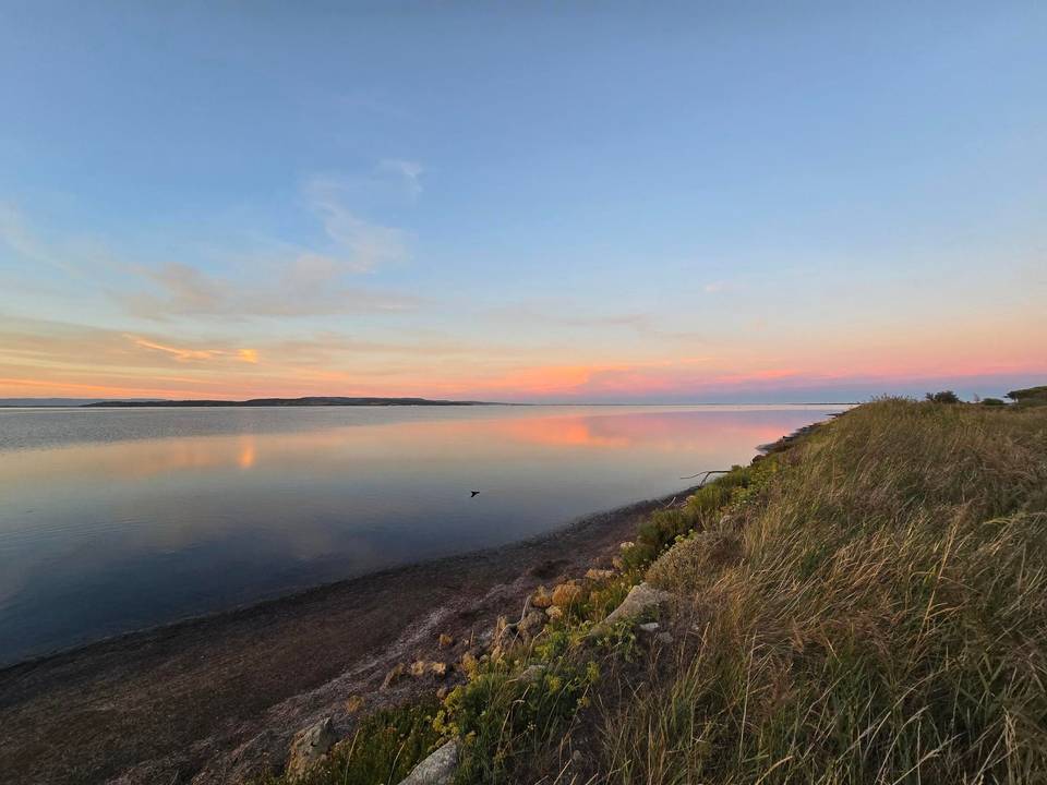
Stage 14 · Cap d'Agde to Sigean 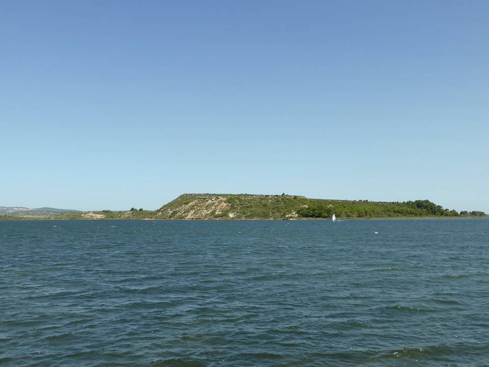
Stage 15 · Sigean to Banyuls-sur-Mer 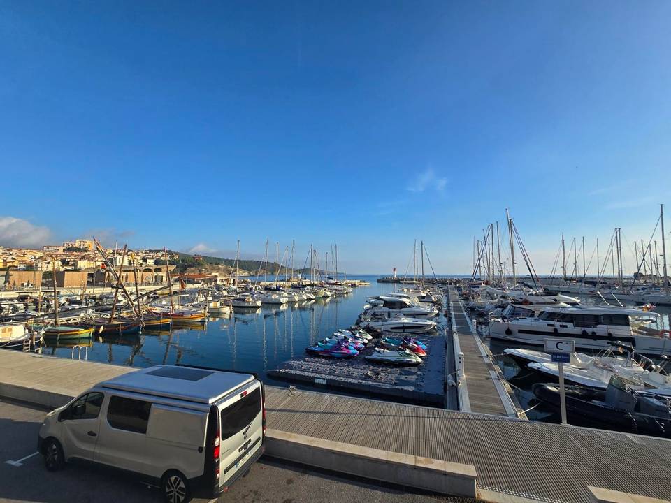
Stage 16 · Banyuls-sur-Mer to L'Estartit over the Col de Banyuls 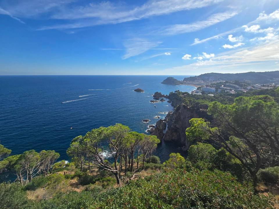
Stage 17 · L'Estartit to Lloret de Mar Along the Costa Brava 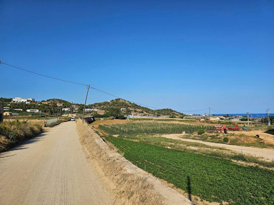
Stage 18 · Barcelona to Lloret de Mar Along the Maresme Coast
Questions riders ask
Can you cycle from Amsterdam to Lloret de Mar Along the Maresme Coast?
Yes. Marcus rode it in 18 stages from 3 to 21 September 2025, 1,679 km in all.
How far is Amsterdam to Lloret de Mar Along the Maresme Coast by bike?
1,679 km along this route, in 18 stages averaging 93 km.
How long does it take to cycle from Amsterdam to Lloret de Mar Along the Maresme Coast?
The documented trip took 18 riding days over 19 calendar days. Moving time is estimated at about 108 hours. At 60 km a day it is 28 days, 80 km a day it is 21 days and 100 km a day it is 17 days.
How much climbing is involved?
5,089 m in total. The most climbing in a day is 687 m on stage 17, L'Estartit to Lloret de Mar Along the Costa Brava.
How difficult is the route?
At 93 km a day on average, it suits riders used to back-to-back days of 80–120 km. The longest day is 140.9 km.
Is it suitable for a road bike?
81% of the route is mapped as paved and 15% as gravel or unpaved (4% has no surface data). Based on that: road bike with sturdy tyres, or gravel bike.
Is there a GPX file?
Yes. Every stage has its own GPX download, and the whole tour is available as one GPX file with a track per stage.
What is the best time of year?
This tour was ridden in September 2025. From ten years of weather at the stage towns, Apr to Oct are good for riding along the whole route.